
Cycling in Carmel
Discover a map of 516 cycling routes and bike trails near Carmel, created by our community.
Region portrait
Get to know Carmel
Find the right bike route for you through Carmel, where we've got 516 cycle routes to explore. Most people get on their bikes to ride here in the months of June and July.
5,709 km
Tracked distance
516
Cycle routes
79,191
Population
Community
Most active users in Carmel


From our community
The best bike routes in and around Carmel


Recovered Route
Cycling route in Carmel, Indiana, United States
- 21.5 km
- Distance
- 115 m
- Ascent
- 125 m
- Descent


Discover more routes
 Gravel 31m
- Distance
- 51.1 km
- Ascent
- 75 m
- Descent
- 75 m
- Location
- Carmel, Indiana, United States
 local circuit
- Distance
- 18.5 km
- Ascent
- 29 m
- Descent
- 30 m
- Location
- Carmel, Indiana, United States
 12801–12851 Grand Blvd, Carmel to 12840 Old Meridian St, Carmel
- Distance
- 10.5 km
- Ascent
- 20 m
- Descent
- 21 m
- Location
- Carmel, Indiana, United States
 12800–12880 Grand Blvd, Carmel to 12780 Old Meridian St, Carmel
- Distance
- 10.3 km
- Ascent
- 24 m
- Descent
- 25 m
- Location
- Carmel, Indiana, United States
 14059 Old Mill Cir, Carmel to 2001 E 151st St, Westfield
- Distance
- 5.1 km
- Ascent
- 10 m
- Descent
- 25 m
- Location
- Carmel, Indiana, United States
 2003 E Greyhound Pass, Westfield to 2222 E 146th St, Westfield
- Distance
- 0.5 km
- Ascent
- 0 m
- Descent
- 13 m
- Location
- Carmel, Indiana, United States
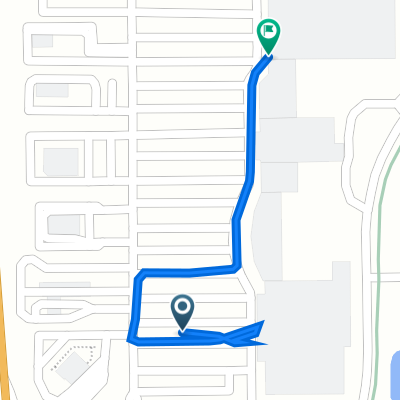
 2nd Street Northwest 135, Carmel to North Rangeline Road 985, Carmel
- Distance
- 2 km
- Ascent
- 6 m
- Descent
- 10 m
- Location
- Carmel, Indiana, United States
 1960 E Greyhound Pass, Westfield to 2001 E 151st St, Westfield
- Distance
- 0.5 km
- Ascent
- 0 m
- Descent
- 0 m
- Location
- Carmel, Indiana, United States