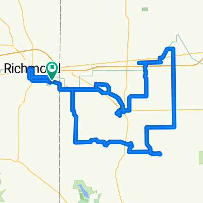
Cycling in Richmond
Discover a map of 42 cycling routes and bike trails near Richmond, created by our community.
Region portrait
Get to know Richmond
Find the right bike route for you through Richmond, where we've got 42 cycle routes to explore. Most people get on their bikes to ride here in the month of June.
4,538 km
Tracked distance
42
Cycle routes
36,812
Population
Community
Most active users in Richmond
From our community
The best bike routes in and around Richmond
730–782 Industries Rd, Richmond to 10570 N Jacksonburg Rd, Economy
Cycling route in Richmond, Indiana, United States of America
- 24.9 km
- Distance
- 179 m
- Ascent
- 135 m
- Descent
Quick Blast
Cycling route in Richmond, Indiana, United States of America
- 37.5 km
- Distance
- 263 m
- Ascent
- 263 m
- Descent
Oxford Hoel Camden Imported from Garmin
Cycling route in Richmond, Indiana, United States of America
Fun with some hort schallenging sections
- 115.6 km
- Distance
- 590 m
- Ascent
- 590 m
- Descent
Dunlapsville Loop
Cycling route in Richmond, Indiana, United States of America
Challenging Loop with some Climbs and long flats
- 79.8 km
- Distance
- 301 m
- Ascent
- 297 m
- Descent
Discover more routes
- Abington-Brownsville-Liberty Concord Churh
- Distance
- 95.6 km
- Ascent
- 531 m
- Descent
- 532 m
- Location
- Richmond, Indiana, United States of America
- Ohio Gap1: Richmond IN to Trotwood Ohio
- Distance
- 56.2 km
- Ascent
- 239 m
- Descent
- 278 m
- Location
- Richmond, Indiana, United States of America
- Epic Double Metric Bike Ride
- Distance
- 214.7 km
- Ascent
- 1,599 m
- Descent
- 1,574 m
- Location
- Richmond, Indiana, United States of America
- Wengerlawn Eaton Camden
- Distance
- 166.8 km
- Ascent
- 364 m
- Descent
- 356 m
- Location
- Richmond, Indiana, United States of America
- morning ride
- Distance
- 56.2 km
- Ascent
- 170 m
- Descent
- 165 m
- Location
- Richmond, Indiana, United States of America
- Buckey Bridge Ride With a Detour
- Distance
- 178.6 km
- Ascent
- 293 m
- Descent
- 296 m
- Location
- Richmond, Indiana, United States of America
- RAIN.
- Distance
- 255.1 km
- Ascent
- 1,002 m
- Descent
- 1,129 m
- Location
- Richmond, Indiana, United States of America
- Buckeye Bridge Ride from CFW
- Distance
- 189.1 km
- Ascent
- 399 m
- Descent
- 420 m
- Location
- Richmond, Indiana, United States of America