
Cycling in Lexington-Fayette
Discover a map of 71 cycling routes and bike trails near Lexington-Fayette, created by our community.
Region portrait
Get to know Lexington-Fayette
Find the right bike route for you through Lexington-Fayette, where we've got 71 cycle routes to explore. Most people get on their bikes to ride here in the month of June.
1,123 km
Tracked distance
71
Cycle routes
295,803
Population
Community
Most active users in Lexington-Fayette


From our community
The best bike routes in and around Lexington-Fayette


High-speed route in Lexington
Cycling route in Lexington-Fayette, Kentucky, United States of America
- 26.5 km
- Distance
- 171 m
- Ascent
- 171 m
- Descent

Bikes & Brews: Lexington Craft Beer Week
Cycling route in Lexington-Fayette, Kentucky, United States of America
Bike this route between Pivot Brewing and Mirror Twin Brewing to participate in this fun Lexington Craft Beer Week Event.
- 2.1 km
- Distance
- 22 m
- Ascent
- 9 m
- Descent

Legacy trail
Cycling route in Lexington-Fayette, Kentucky, United States of America
- 16.9 km
- Distance
- 63 m
- Ascent
- 96 m
- Descent

Mark 2 Mark Labor Day Extravaganza!
Cycling route in Lexington-Fayette, Kentucky, United States of America
Mark & Wendy's to Mark & Kristin's via roads largely amenable to new riders.
- 46.6 km
- Distance
- 200 m
- Ascent
- 276 m
- Descent
Discover more routes
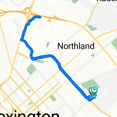
 Deer Haven Lane 1970, Lexington to Deer Haven Lane 1945, Lexington
- Distance
- 11.3 km
- Ascent
- 70 m
- Descent
- 69 m
- Location
- Lexington-Fayette, Kentucky, United States of America
 1505 Continental Square, Lexington to 1505 Continental Square, Lexington
- Distance
- 17.2 km
- Ascent
- 408 m
- Descent
- 405 m
- Location
- Lexington-Fayette, Kentucky, United States of America
 Day 1 - 30 Min
- Distance
- 5.9 km
- Ascent
- 24 m
- Descent
- 36 m
- Location
- Lexington-Fayette, Kentucky, United States of America
 To Broomwagon
- Distance
- 8.4 km
- Ascent
- 41 m
- Descent
- 38 m
- Location
- Lexington-Fayette, Kentucky, United States of America
 Cincinnati Danville High-speed route
- Distance
- 88.3 km
- Ascent
- 355 m
- Descent
- 362 m
- Location
- Lexington-Fayette, Kentucky, United States of America
 811 Oak Hill Dr, Lexington to 814 Oak Hill Dr, Lexington
- Distance
- 8.7 km
- Ascent
- 55 m
- Descent
- 59 m
- Location
- Lexington-Fayette, Kentucky, United States of America
 The 8
The 8- Distance
- 32.3 km
- Ascent
- 164 m
- Descent
- 164 m
- Location
- Lexington-Fayette, Kentucky, United States of America
 50 miler
- Distance
- 81 km
- Ascent
- ---
- Descent
- ---
- Location
- Lexington-Fayette, Kentucky, United States of America