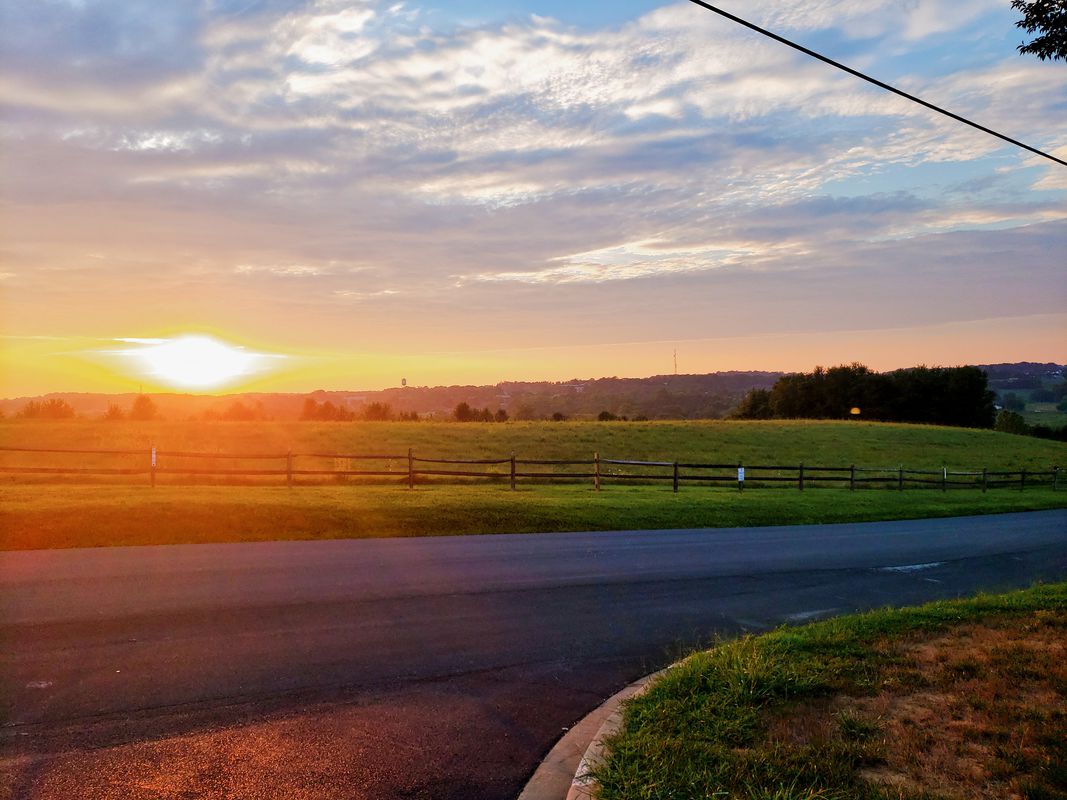
Cycling in Eldersburg
Discover a map of 55 cycling routes and bike trails near Eldersburg, created by our community.
Region portrait
Get to know Eldersburg
Find the right bike route for you through Eldersburg, where we've got 55 cycle routes to explore. Most people get on their bikes to ride here in the months of August and September.
1,196 km
Tracked distance
55
Cycle routes
30,531
Population
Community
Most active users in Eldersburg
From our community
The best bike routes in and around Eldersburg
macbeth to slack road
Cycling route in Eldersburg, Maryland, United States
- 9.1 km
- Distance
- 106 m
- Ascent
- 104 m
- Descent
Part 2: Bike Ride 5-28-09
Cycling route in Eldersburg, Maryland, United States
- 14.7 km
- Distance
- 136 m
- Ascent
- 120 m
- Descent
1956 Granite Point Terr, Marriottsville to 16803 Yeoho Rd, Sparks Glencoe
Cycling route in Eldersburg, Maryland, United States
- 39.3 km
- Distance
- 766 m
- Ascent
- 750 m
- Descent
Ridge Hernwood Thru Trail
Cycling route in Eldersburg, Maryland, United States
- 26.7 km
- Distance
- 417 m
- Ascent
- 377 m
- Descent
Discover more routes
 Trails to Dam Road with shortcut to Ridge
- Distance
- 16.1 km
- Ascent
- 365 m
- Descent
- 324 m
- Location
- Eldersburg, Maryland, United States
 Raincliffe Sykesville Eldersburg West
- Distance
- 29.8 km
- Ascent
- 333 m
- Descent
- 349 m
- Location
- Eldersburg, Maryland, United States
 Ride to freedom park
- Distance
- 5.8 km
- Ascent
- 57 m
- Descent
- 77 m
- Location
- Eldersburg, Maryland, United States
 Reservoir Trails to Gate 3
- Distance
- 10.4 km
- Ascent
- 195 m
- Descent
- 141 m
- Location
- Eldersburg, Maryland, United States
 6004–6020 Kennard Ct, Sykesville to 10101 Frederick Rd, Ellicott City
- Distance
- 20.6 km
- Ascent
- 173 m
- Descent
- 237 m
- Location
- Eldersburg, Maryland, United States
 Reservoir trails to ridge road
- Distance
- 8.3 km
- Ascent
- 126 m
- Descent
- 97 m
- Location
- Eldersburg, Maryland, United States
 Marriottsville to Woodstock to wood Mar trail
- Distance
- 30.2 km
- Ascent
- 243 m
- Descent
- 332 m
- Location
- Eldersburg, Maryland, United States
 home 3miler
- Distance
- 5.5 km
- Ascent
- 66 m
- Descent
- 66 m
- Location
- Eldersburg, Maryland, United States


