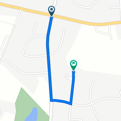
Cycling in Westminster
Discover a map of 43 cycling routes and bike trails near Westminster, created by our community.
Region portrait
Get to know Westminster
Find the right bike route for you through Westminster, where we've got 43 cycle routes to explore. Most people get on their bikes to ride here in the month of February.
1,069 km
Tracked distance
43
Cycle routes
18,590
Population
Community
Most active users in Westminster
From our community
The best bike routes in and around Westminster
20-mile Peach route
Cycling route in Westminster, Maryland, United States of America
This is a shortened route of the 40-mile Peach Festival ride. It includes a scenic bypass thru Sam's Creek Rd and avoid high car traffic roads.
- 35 km
- Distance
- 356 m
- Ascent
- 354 m
- Descent
Tahoma Farm Road 700-798, Westminster to Uniontown Road 2828, Westminster
Cycling route in Westminster, Maryland, United States of America
- 10.6 km
- Distance
- 106 m
- Ascent
- 98 m
- Descent
Dash to Gettysburg
Cycling route in Westminster, Maryland, United States of America
<span style="font-family: Times New Roman; color: #000000; font-size: small;">This is a good route for people who might like a refresher on the Civil war.<span style="mso-spacerun: yes;">Â </span>You get a great ride in what we think will be quite roads with a nice place to picn
- 96.5 km
- Distance
- 676 m
- Ascent
- 702 m
- Descent
Dash to Harney
Cycling route in Westminster, Maryland, United States of America
<span style="font-size: small;"><font color="#000000"><font face="Times New Roman">This shorter loop takes you through Taneytown and just up to the Maryland border</font></font></span>
Â
<table class="MsoNormalTable" style="margin: auto auto a
- 56.6 km
- Distance
- 479 m
- Ascent
- 505 m
- Descent
Discover more routes
- tanneytown
- Distance
- 22.9 km
- Ascent
- 223 m
- Descent
- 224 m
- Location
- Westminster, Maryland, United States of America
- Recovered Route
- Distance
- 15.9 km
- Ascent
- 197 m
- Descent
- 223 m
- Location
- Westminster, Maryland, United States of America
- 2009 Eat a Peach 40m
- Distance
- 62 km
- Ascent
- 450 m
- Descent
- 463 m
- Location
- Westminster, Maryland, United States of America
- 404 Lucabaugh Mill Rd, Westminster to 118 S Market St, Frederick
- Distance
- 55.5 km
- Ascent
- 640 m
- Descent
- 753 m
- Location
- Westminster, Maryland, United States of America
- Tour De Finksburg
- Distance
- 9.1 km
- Ascent
- 171 m
- Descent
- 193 m
- Location
- Westminster, Maryland, United States of America
- EataPeach33
- Distance
- 54.4 km
- Ascent
- 477 m
- Descent
- 482 m
- Location
- Westminster, Maryland, United States of America
- Woodsboro Black Ankle Loop
- Distance
- 105.6 km
- Ascent
- 1,051 m
- Descent
- 1,074 m
- Location
- Westminster, Maryland, United States of America
- Emmitsburg Loop
- Distance
- 99.5 km
- Ascent
- 942 m
- Descent
- 951 m
- Location
- Westminster, Maryland, United States of America