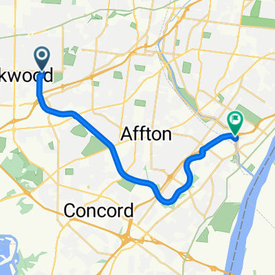
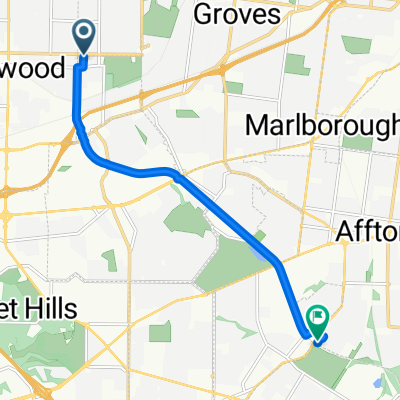
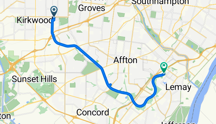
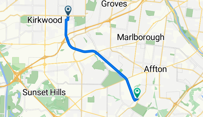
Cycling in Oakland
Discover a map of 36 cycling routes and bike trails near Oakland, created by our community.
Region portrait
Get to know Oakland
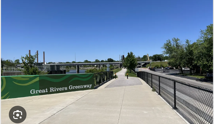
Find the right bike route for you through Oakland, where we've got 36 cycle routes to explore.
621 km
Tracked distance
36
Cycle routes
1,381
Population
Community
Most active users in Oakland
From our community
The best bike routes in and around Oakland
U City
Cycling route in Oakland, Missouri, United States of America
- 14.6 km
- Distance
- 136 m
- Ascent
- 168 m
- Descent
Grant's Trail Down and Back
Cycling route in Oakland, Missouri, United States of America
- 25.7 km
- Distance
- 86 m
- Ascent
- 86 m
- Descent
Grants Trail
Cycling route in Oakland, Missouri, United States of America
- 13 km
- Distance
- 49 m
- Ascent
- 101 m
- Descent
Grant's Trail, Oakland to Grant's Trail, Oakland
Cycling route in Oakland, Missouri, United States of America
- 10.3 km
- Distance
- 37 m
- Ascent
- 49 m
- Descent
Discover more routes
- Kirkwood Grant's Trail
- Distance
- 31.4 km
- Ascent
- 82 m
- Descent
- 84 m
- Location
- Oakland, Missouri, United States of America
- 707 Crofton Ave, Webster Groves to 704–752 Crofton Ave, Webster Groves
- Distance
- 43.4 km
- Ascent
- 209 m
- Descent
- 209 m
- Location
- Oakland, Missouri, United States of America
- First try
- Distance
- 2 km
- Ascent
- 20 m
- Descent
- 18 m
- Location
- Oakland, Missouri, United States of America
- Route from 200 S Sappington Rd, Oakland
- Distance
- 13.8 km
- Ascent
- 101 m
- Descent
- 140 m
- Location
- Oakland, Missouri, United States of America
- 711 Crofton Ave, Webster Groves to 704–752 Crofton Ave, Webster Groves
- Distance
- 5 km
- Ascent
- 34 m
- Descent
- 35 m
- Location
- Oakland, Missouri, United States of America
- 9937 Big Bend Blvd, Oakland to 699 S Holmes Ave, Kirkwood
- Distance
- 31.1 km
- Ascent
- 142 m
- Descent
- 140 m
- Location
- Oakland, Missouri, United States of America
- Civil Life
- Distance
- 14 km
- Ascent
- 170 m
- Descent
- 210 m
- Location
- Oakland, Missouri, United States of America
- Forest Park
- Distance
- 13.7 km
- Ascent
- 120 m
- Descent
- 160 m
- Location
- Oakland, Missouri, United States of America