
Cycling in Boone
Discover a map of 53 cycling routes and bike trails near Boone, created by our community.
Region portrait
Get to know Boone
Find the right bike route for you through Boone, where we've got 53 cycle routes to explore. Most people get on their bikes to ride here in the month of May.
1,770 km
Tracked distance
53
Cycle routes
17,122
Population
Community
Most active users in Boone


From our community
The best bike routes in and around Boone


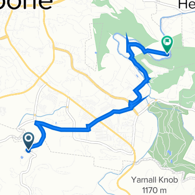
Brief ride through Boone
Cycling route in Boone, North Carolina, United States
- 2.1 km
- Distance
- 5 m
- Ascent
- 4 m
- Descent


Skate And Hammock
Cycling route in Boone, North Carolina, United States
- 8.4 km
- Distance
- 83 m
- Ascent
- 83 m
- Descent

MAC Todd, NC Railroad Grade Road Flying and Grinding
Cycling route in Boone, North Carolina, United States
- 32.1 km
- Distance
- 547 m
- Ascent
- 547 m
- Descent

Todd to Snake and back
Cycling route in Boone, North Carolina, United States
- 63.3 km
- Distance
- 730 m
- Ascent
- 726 m
- Descent
Discover more routes
 The High Country
- Distance
- 58.5 km
- Ascent
- 1,487 m
- Descent
- 1,487 m
- Location
- Boone, North Carolina, United States
 229 E King St, Boone to 229 E King St, Boone
- Distance
- 22.9 km
- Ascent
- 328 m
- Descent
- 328 m
- Location
- Boone, North Carolina, United States
 Deck Hill Road 510, Boone to Broadstone Road 352, Banner Elk
- Distance
- 9.2 km
- Ascent
- 100 m
- Descent
- 284 m
- Location
- Boone, North Carolina, United States
 Boone - Boone 182 km
- Distance
- 181.9 km
- Ascent
- 1,739 m
- Descent
- 1,739 m
- Location
- Boone, North Carolina, United States
 Boone - Blue Ridge Parkway - Asheville 157 km
- Distance
- 156.9 km
- Ascent
- 2,185 m
- Descent
- 2,508 m
- Location
- Boone, North Carolina, United States

Garmin
Boone Cycling- Distance
- 16.9 km
- Ascent
- 400 m
- Descent
- 360 m
- Location
- Boone, North Carolina, United States
 Rainy Day Greenway
- Distance
- 14.1 km
- Ascent
- 70 m
- Descent
- 69 m
- Location
- Boone, North Carolina, United States
 Deck Hill Road 502, Boone to Boone
- Distance
- 4.8 km
- Ascent
- 7 m
- Descent
- 85 m
- Location
- Boone, North Carolina, United States