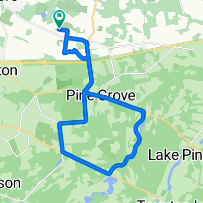


Country Farms Road 124, Evesham Township to Country Farms Road 101, Evesham Township
- 15.2 km
- 58 m
- 60 m
- Marlton, New Jersey, United States

Discover a map of 90 cycling routes and bike trails near Marlton, created by our community.
Region portrait
Find the right bike route for you through Marlton, where we've got 90 cycle routes to explore. Most people get on their bikes to ride here in the months of August and October.
1,128 km
Tracked distance
90
Cycle routes
10,133
Population
Community
From our community
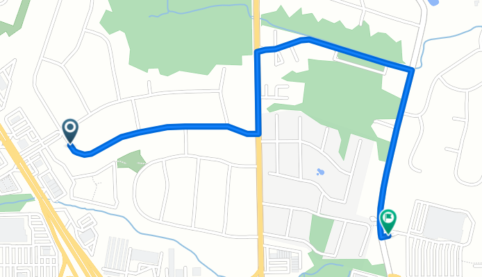
Cycling route in Marlton, New Jersey, United States
Cycling route in Marlton, New Jersey, United States
Cycling route in Marlton, New Jersey, United States
Cycling route in Marlton, New Jersey, United States