
Cycling in Beavercreek
Discover a map of 104 cycling routes and bike trails near Beavercreek, created by our community.
Region portrait
Get to know Beavercreek
Find the right bike route for you through Beavercreek, where we've got 104 cycle routes to explore. Most people get on their bikes to ride here in the months of May and July.
2,106 km
Tracked distance
104
Cycle routes
45,193
Population
Community
Most active users in Beavercreek

From our community
The best bike routes in and around Beavercreek

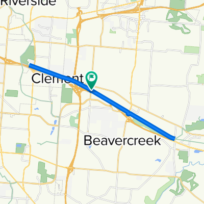
east gate east to Fairborn
Cycling route in Beavercreek, Ohio, United States
- 31 km
- Distance
- 90 m
- Ascent
- 90 m
- Descent

RFW - Bellbrook Rolling Hills
Cycling route in Beavercreek, Ohio, United States
- 60.1 km
- Distance
- 268 m
- Ascent
- 279 m
- Descent

RFW - Oakwood Hills
Cycling route in Beavercreek, Ohio, United States
- 32.1 km
- Distance
- 168 m
- Ascent
- 174 m
- Descent

RFW Flat Bikepath
Cycling route in Beavercreek, Ohio, United States
- 46.9 km
- Distance
- 145 m
- Ascent
- 161 m
- Descent
Discover more routes
 RFW Flat Bikepath
- Distance
- 46.8 km
- Ascent
- 126 m
- Descent
- 119 m
- Location
- Beavercreek, Ohio, United States
 cool route
- Distance
- 78.8 km
- Ascent
- 435 m
- Descent
- 435 m
- Location
- Beavercreek, Ohio, United States
 Creekside Trail, Beavercreek to Creekside Trail, Beavercreek
- Distance
- 18.5 km
- Ascent
- 59 m
- Descent
- 58 m
- Location
- Beavercreek, Ohio, United States
 Oxford Craziness
- Distance
- 81.2 km
- Ascent
- 277 m
- Descent
- 283 m
- Location
- Beavercreek, Ohio, United States
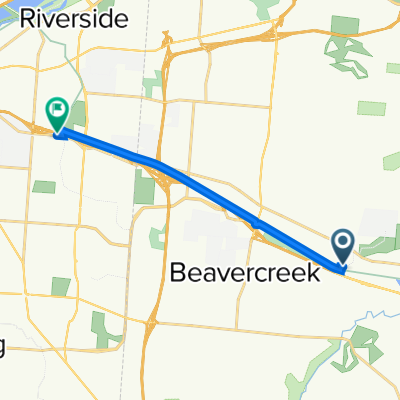 800 Factory Rd, Beavercreek to 3623 Linden Ave, Dayton
- Distance
- 10.2 km
- Ascent
- 45 m
- Descent
- 25 m
- Location
- Beavercreek, Ohio, United States
 1854–1898 Spaulding Rd, Kettering to 2001–2157 Wilmington Pike, Kettering
- Distance
- 18.2 km
- Ascent
- 123 m
- Descent
- 97 m
- Location
- Beavercreek, Ohio, United States
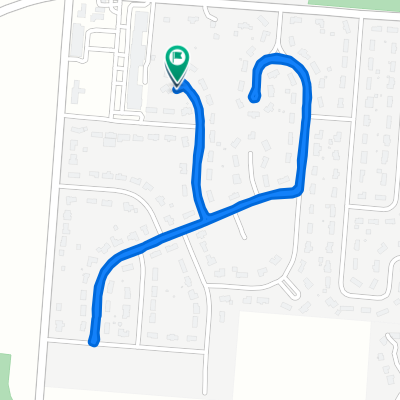 1170 Rosendale Dr, Beavercreek to 1170 Rosendale Dr, Beavercreek
- Distance
- 2.8 km
- Ascent
- 0 m
- Descent
- 0 m
- Location
- Beavercreek, Ohio, United States
 Sporty route in Beavercreek
- Distance
- 39.1 km
- Ascent
- 152 m
- Descent
- 154 m
- Location
- Beavercreek, Ohio, United States