
Cycling in Highpoint
Discover a map of 11 cycling routes and bike trails near Highpoint, created by our community.
Region portrait
Get to know Highpoint
Find the right bike route for you through Highpoint, where we've got 11 cycle routes to explore.
172 km
Tracked distance
11
Cycle routes
1,503
Population


From our community
The best bike routes in and around Highpoint
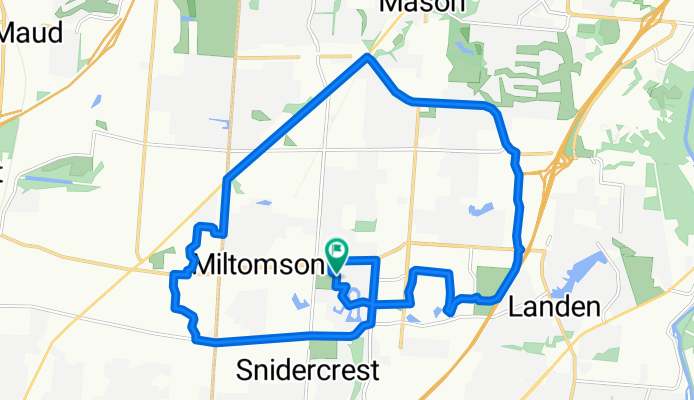
Mason South 24km
Cycling route in Highpoint, Ohio, United States
- 24.1 km
- Distance
- 124 m
- Ascent
- 124 m
- Descent

7394 W Chester Rd, West Chester to 8715 Rupp Farm Dr, West Chester
Cycling route in Highpoint, Ohio, United States
- 5.1 km
- Distance
- 23 m
- Ascent
- 89 m
- Descent

9902 Meadow Hills Dr, West Chester to 301–399 Thomas Dr, Springboro
Cycling route in Highpoint, Ohio, United States
- 51.5 km
- Distance
- 336 m
- Ascent
- 318 m
- Descent

Easy ride in West Chester
Cycling route in Highpoint, Ohio, United States
- 14.6 km
- Distance
- 119 m
- Ascent
- 120 m
- Descent
Discover more routes
 Rob2Summit
- Distance
- 7.3 km
- Ascent
- 14 m
- Descent
- 36 m
- Location
- Highpoint, Ohio, United States
 Rob2Forts
- Distance
- 5.7 km
- Ascent
- 13 m
- Descent
- 21 m
- Location
- Highpoint, Ohio, United States
 5700–5936 Squires Gate Dr, Mason to 6621 Lewisclark Trail, Cincinnati
- Distance
- 5.8 km
- Ascent
- 29 m
- Descent
- 25 m
- Location
- Highpoint, Ohio, United States
 Pots and Lemonade
- Distance
- 22.5 km
- Ascent
- 158 m
- Descent
- 196 m
- Location
- Highpoint, Ohio, United States
 Rob2Church
- Distance
- 12.9 km
- Ascent
- 41 m
- Descent
- 86 m
- Location
- Highpoint, Ohio, United States
 6621 Lewisclark Trail, Cincinnati to 6621 Lewisclark Trail, Cincinnati
- Distance
- 12.5 km
- Ascent
- 49 m
- Descent
- 51 m
- Location
- Highpoint, Ohio, United States
 5933 Timber Rail Ln, Mason to 5933 Timber Rail Ln, Mason
- Distance
- 10.1 km
- Ascent
- 41 m
- Descent
- 41 m
- Location
- Highpoint, Ohio, United States