
Cycling in Salem Heights
Discover a map of 11 cycling routes and bike trails near Salem Heights, created by our community.
Region portrait
Get to know Salem Heights
Find the right bike route for you through Salem Heights, where we've got 11 cycle routes to explore.
228 km
Tracked distance
11
Cycle routes
3,839
Population


From our community
The best bike routes in and around Salem Heights


1290 Coolidge Ave, Cincinnati to 1293 Coolidge Ave, Cincinnati
Cycling route in Salem Heights, Ohio, United States
- 5.4 km
- Distance
- 50 m
- Ascent
- 48 m
- Descent

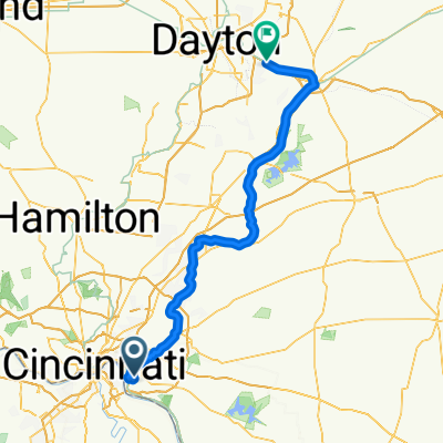
6137 Salem Rd, Cincinnati to 1859 Cole Farm Ln, Loveland
Cycling route in Salem Heights, Ohio, United States
- 29 km
- Distance
- 231 m
- Ascent
- 197 m
- Descent

1277 Coolidge Ave, Cincinnati to 1293 Coolidge Ave, Cincinnati
Cycling route in Salem Heights, Ohio, United States
- 15 km
- Distance
- 163 m
- Ascent
- 164 m
- Descent
Discover more routes
 Salem Heights - Beaver Creek
- Distance
- 113.1 km
- Ascent
- 865 m
- Descent
- 823 m
- Location
- Salem Heights, Ohio, United States
 1277 Coolidge Ave, Cincinnati to 6910 Salem Rd, Cincinnati
- Distance
- 2.1 km
- Ascent
- 10 m
- Descent
- 10 m
- Location
- Salem Heights, Ohio, United States
 1237 Coolidge Ave, Cincinnati to 1290 Coolidge Ave, Cincinnati
- Distance
- 7.1 km
- Ascent
- 72 m
- Descent
- 72 m
- Location
- Salem Heights, Ohio, United States
 1277 Coolidge Ave, Cincinnati to 7157 Beechmont Ave, Cincinnati
- Distance
- 1.7 km
- Ascent
- 24 m
- Descent
- 9 m
- Location
- Salem Heights, Ohio, United States
 1293 Coolidge Ave, Cincinnati to 1293 Coolidge Ave, Cincinnati
- Distance
- 22.3 km
- Ascent
- 179 m
- Descent
- 188 m
- Location
- Salem Heights, Ohio, United States
 1277 Coolidge Ave, Cincinnati to 1293 Coolidge Ave, Cincinnati
- Distance
- 7.9 km
- Ascent
- 84 m
- Descent
- 82 m
- Location
- Salem Heights, Ohio, United States
 1277 Coolidge Ave, Cincinnati to 1293 Coolidge Ave, Cincinnati
- Distance
- 13.7 km
- Ascent
- 160 m
- Descent
- 163 m
- Location
- Salem Heights, Ohio, United States