
Cycling in South Charleston
Discover a map of 9 cycling routes and bike trails near South Charleston, created by our community.
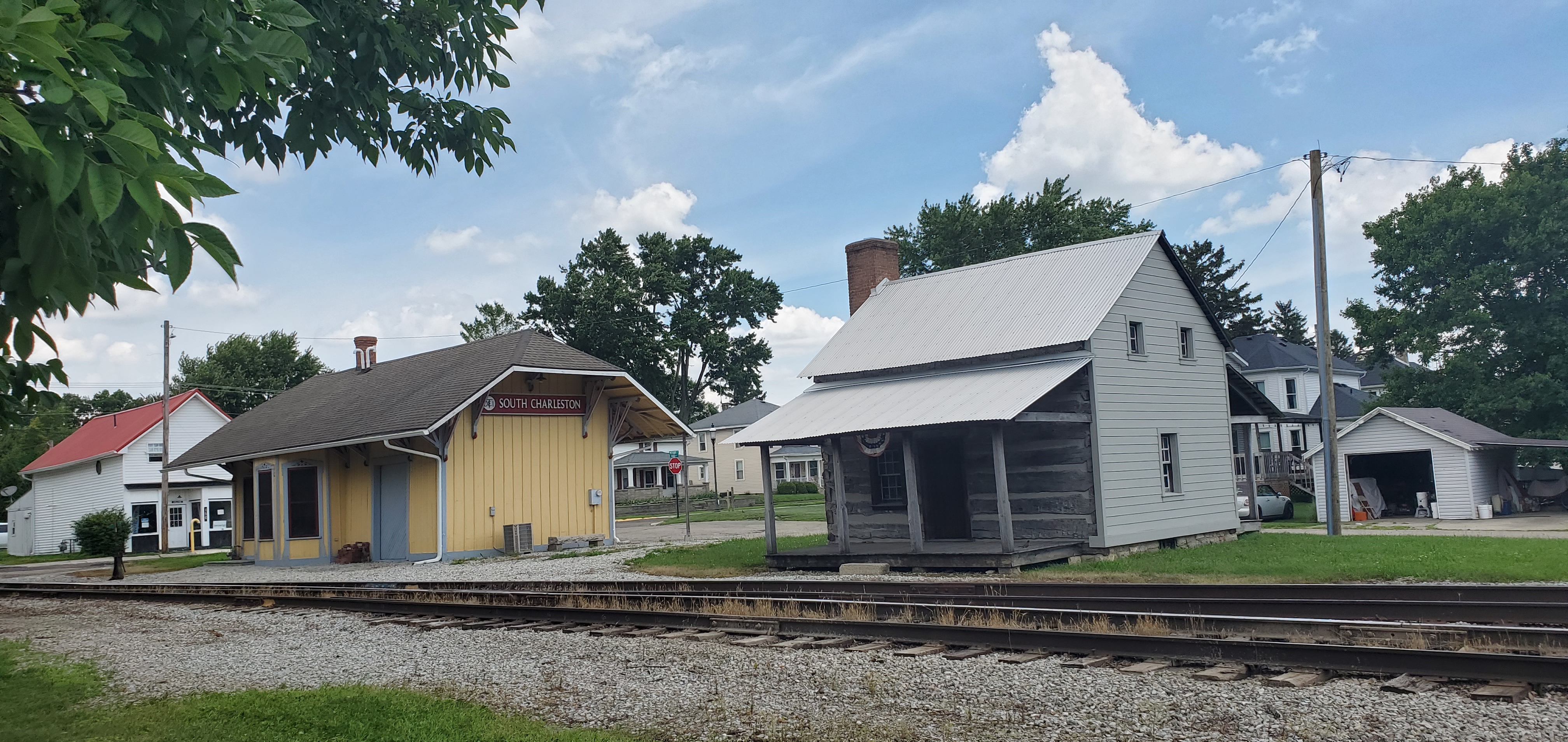
Region portrait
Get to know South Charleston
Find the right bike route for you through South Charleston, where we've got 9 cycle routes to explore.
717 km
Tracked distance
9
Cycle routes
1,693
Population
Community
Most active users in South Charleston
From our community
The best bike routes in and around South Charleston

37 S Chillicothe St, South Charleston to 305 N Walnut St, Yellow Springs
Cycling route in South Charleston, Ohio, United States
- 47 km
- Distance
- 69 m
- Ascent
- 117 m
- Descent

31 E Mound St, South Charleston to 237 Market St, Brookville
Cycling route in South Charleston, Ohio, United States
- 88.1 km
- Distance
- 315 m
- Ascent
- 345 m
- Descent

Saint Charles to Urbana
Cycling route in South Charleston, Ohio, United States
- 448.3 km
- Distance
- 1,131 m
- Ascent
- 1,256 m
- Descent

South Church Street to East Center Street
Cycling route in South Charleston, Ohio, United States
- 18.8 km
- Distance
- 22 m
- Ascent
- 50 m
- Descent
Discover more routes
 East Columbus Road to Alkire Road
- Distance
- 37.7 km
- Ascent
- 42 m
- Descent
- 114 m
- Location
- South Charleston, Ohio, United States
 Ohio Bicycle Route 50: South Charleston to Beaver Creek
- Distance
- 37.9 km
- Ascent
- 37 m
- Descent
- 118 m
- Location
- South Charleston, Ohio, United States
 50 (Ohio): South Charleston to South Charleston
- Distance
- 7.3 km
- Ascent
- 12 m
- Descent
- 22 m
- Location
- South Charleston, Ohio, United States
 21: South Charleston to Xenia
- Distance
- 26.4 km
- Ascent
- 85 m
- Descent
- 22 m
- Location
- South Charleston, Ohio, United States
 Stage 21: South Charleston Loop
- Distance
- 5.5 km
- Ascent
- 18 m
- Descent
- 8 m
- Location
- South Charleston, Ohio, United States