


1230 Wilson Dr, West Chester to 1500 Locust St, Philadelphia
- 54.4 km
- 2,896 m
- 3,019 m
- West Chester, Pennsylvania, United States

Discover a map of 70 cycling routes and bike trails near West Chester, created by our community.
Region portrait
Find the right bike route for you through West Chester, where we've got 70 cycle routes to explore. Most people get on their bikes to ride here in the months of June and August.
9,791 km
Tracked distance
70
Cycle routes
18,461
Population
Community
From our community
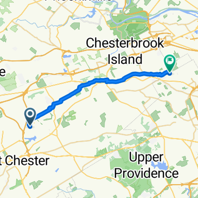
Cycling route in West Chester, Pennsylvania, United States
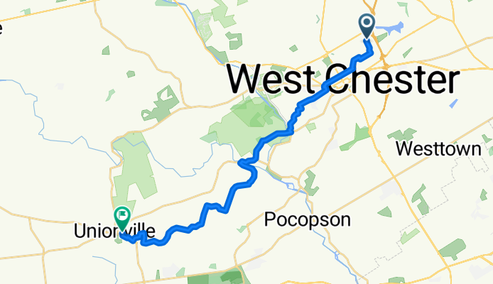
Cycling route in West Chester, Pennsylvania, United States
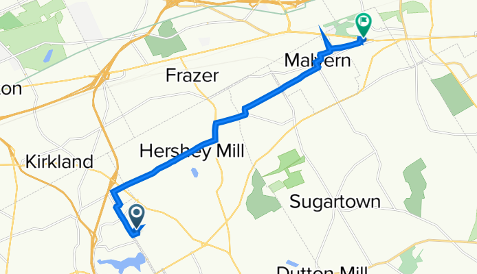
Cycling route in West Chester, Pennsylvania, United States
Cycling route in West Chester, Pennsylvania, United States