


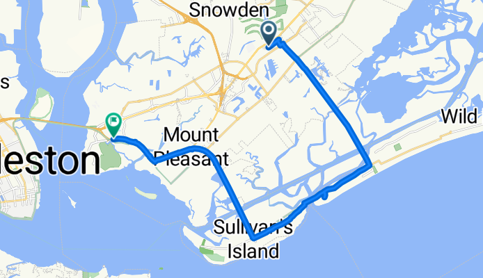


15.5-16 mile loop Sullivan's
- 25.4 km
- 20 m
- 18 m
- Mt. Pleasant, South Carolina, United States

Discover a map of 118 cycling routes and bike trails near Mt. Pleasant, created by our community.
Region portrait
Find the right bike route for you through Mt. Pleasant, where we've got 118 cycle routes to explore. Most people get on their bikes to ride here in the months of March and July.
1,579 km
Tracked distance
118
Cycle routes
67,843
Population
Community
From our community
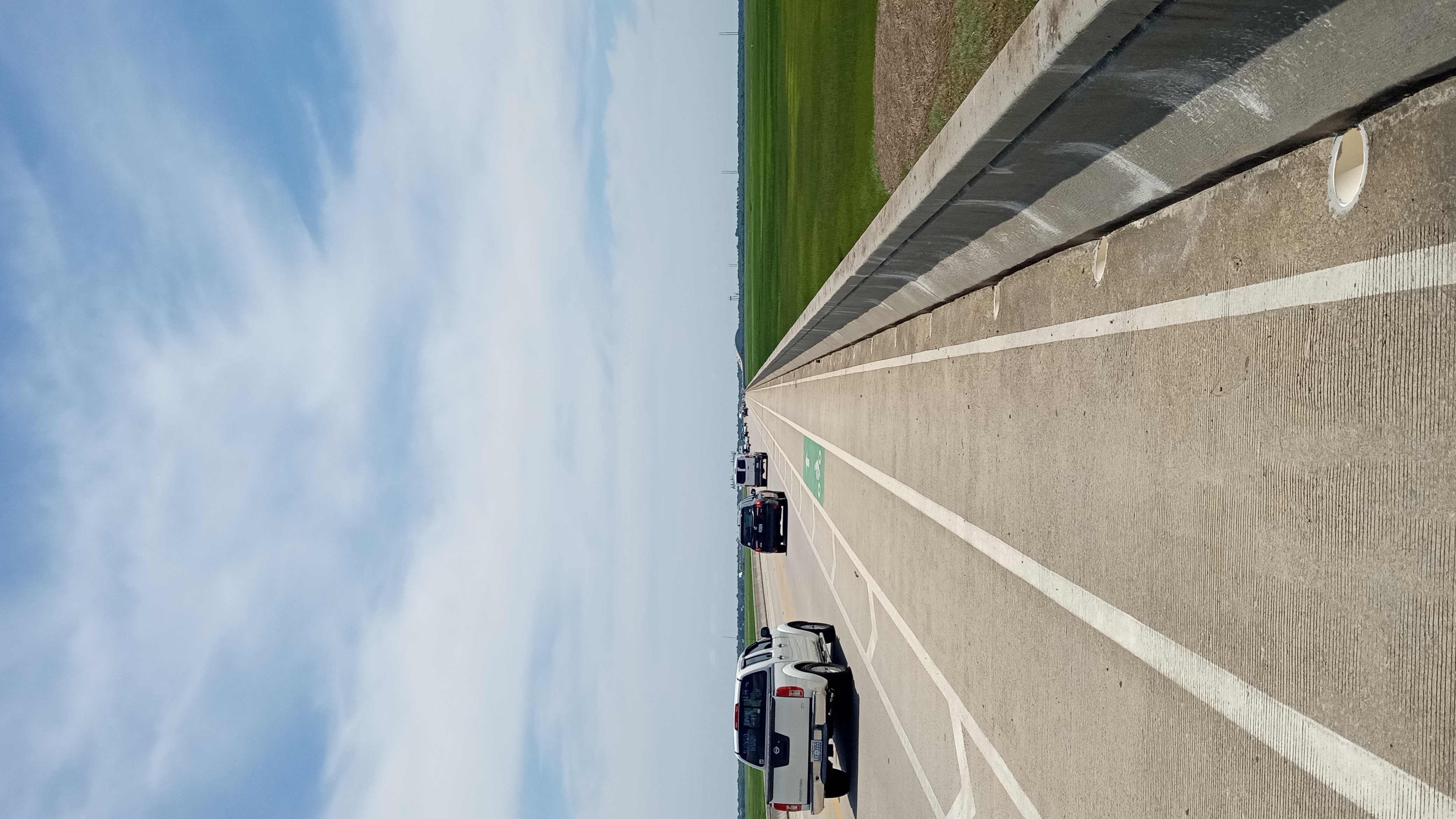


Cycling route in Mt. Pleasant, South Carolina, United States
Cycling route in Mt. Pleasant, South Carolina, United States
Cycling route in Mt. Pleasant, South Carolina, United States
Cycling route in Mt. Pleasant, South Carolina, United States


