
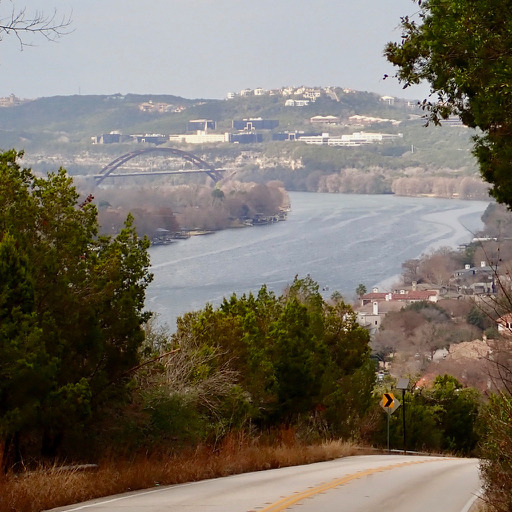
Cycling in Rollingwood
Discover a map of 230 cycling routes and bike trails near Rollingwood, created by our community.
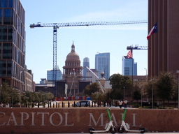
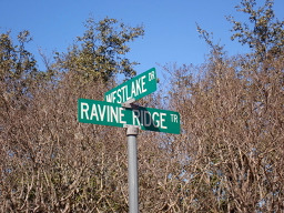
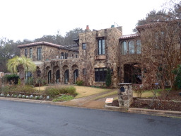
Region portrait
Get to know Rollingwood
Find the right bike route for you through Rollingwood, where we've got 230 cycle routes to explore. Most people get on their bikes to ride here in the months of February and August.
3,784 km
Tracked distance
230
Cycle routes
1,412
Population
Community
Most active users in Rollingwood


From our community
The best bike routes in and around Rollingwood
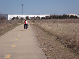
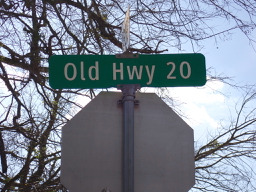
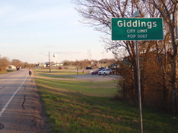

Austin to Giddings
Cycling route in Rollingwood, Texas, United States of America
Finally departed from Austin after more than a month. Ride to Giddings was excellent. Virtually all was either trail (getting out of Austin as far as Manor) or very low-traffic country roads. The route couldn't have been better. Highly recommended.
- 113.7 km
- Distance
- 492 m
- Ascent
- 529 m
- Descent

Austin - Circle to McKinney Falls State Park
Cycling route in Rollingwood, Texas, United States of America
Virtually all of this ride was on either neighborhood roods or arterial roads with good bike lanes.
I had originally planned to ride into McKinney Falls State Park, but with the $6 entry fee, I passed on entering the park and got no farther than the entry booth where one could pay the entry fee.
- 40.3 km
- Distance
- 360 m
- Ascent
- 355 m
- Descent

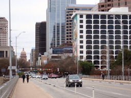
Austin - Circle to Northeast
Cycling route in Rollingwood, Texas, United States of America
This was a ride primarily through neighborhoods and downtown. Virtually all of the ride was on neighborhood roads with no traffic or arterial roads with cycling lanes.
- 36.4 km
- Distance
- 270 m
- Ascent
- 276 m
- Descent
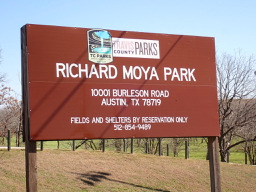

Austin - Circle Southeast to Richard Moya Park
Cycling route in Rollingwood, Texas, United States of America
This ride is on either neighborhood roads or roads with cycling lanes. Except for the initial portion of the ride which was through interesting neighborhoods, the bulk of the ride was on busy and noisy highways.
I took this route since I wanted to see what it was like since we'll be leaving Austin
- 47.2 km
- Distance
- 288 m
- Ascent
- 288 m
- Descent
Discover more routes
 Austin - Circle to Steiner Ranch
- Distance
- 56.1 km
- Ascent
- 757 m
- Descent
- 758 m
- Location
- Rollingwood, Texas, United States of America
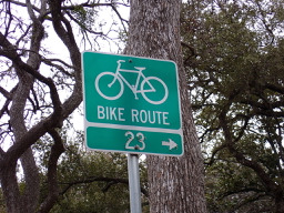 Austin - Circle to North Via Camp Mabry, Bike Rt 23, and Shoal Creek Blvd
- Distance
- 39.5 km
- Ascent
- 515 m
- Descent
- 513 m
- Location
- Rollingwood, Texas, United States of America
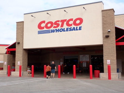
 Austin - Circle thru Lost Creek Blvd to Barton Creek and Costco
- Distance
- 41.4 km
- Ascent
- 572 m
- Descent
- 572 m
- Location
- Rollingwood, Texas, United States of America
 Austin - Circle to MT Supermarket and Walnut Creek
- Distance
- 49.2 km
- Ascent
- 414 m
- Descent
- 413 m
- Location
- Rollingwood, Texas, United States of America
 Austin - Random Riding in Neighborhood North of MUNY Golf Course
- Distance
- 18.7 km
- Ascent
- 290 m
- Descent
- 290 m
- Location
- Rollingwood, Texas, United States of America
 Austin - Circle to MT Supermarket and Costco
- Distance
- 50.5 km
- Ascent
- 428 m
- Descent
- 428 m
- Location
- Rollingwood, Texas, United States of America
 Austin - Circle to Northwest
- Distance
- 33.8 km
- Ascent
- 514 m
- Descent
- 506 m
- Location
- Rollingwood, Texas, United States of America
 Austin - Circle to Bee Cave
- Distance
- 44.6 km
- Ascent
- 562 m
- Descent
- 564 m
- Location
- Rollingwood, Texas, United States of America
Routes from Rollingwood
Quick ride by bicycle from
Rollingwood to Austin
Routes to Rollingwood
Quick ride by bicycle from
Austin to Rollingwood