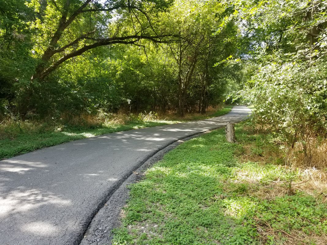
Cycling in Windcrest
Discover a map of 129 cycling routes and bike trails near Windcrest, created by our community.
Region portrait
Get to know Windcrest
Find the right bike route for you through Windcrest, where we've got 129 cycle routes to explore. Most people get on their bikes to ride here in the months of October and November.
2,917 km
Tracked distance
129
Cycle routes
5,364
Population
Community
Most active users in Windcrest
From our community
The best bike routes in and around Windcrest
Tobin to 1604 Trailhead and Back
Cycling route in Windcrest, Texas, United States
- 48.7 km
- Distance
- 194 m
- Ascent
- 194 m
- Descent
Tobin to Eisenhauer
Cycling route in Windcrest, Texas, United States
- 54.5 km
- Distance
- 136 m
- Ascent
- 136 m
- Descent
Northeast Whifferdill
Cycling route in Windcrest, Texas, United States
- 51.4 km
- Distance
- 159 m
- Ascent
- 159 m
- Descent
Discover more routes
 Jubilados Northeast Extravaganza
- Distance
- 50.3 km
- Ascent
- 215 m
- Descent
- 212 m
- Location
- Windcrest, Texas, United States
 Whifferdill Delux
- Distance
- 51.8 km
- Ascent
- 180 m
- Descent
- 183 m
- Location
- Windcrest, Texas, United States
 Tobin Trailhead to My Apartment
- Distance
- 3.5 km
- Ascent
- 45 m
- Descent
- 45 m
- Location
- Windcrest, Texas, United States
 Alamo Heights and Castle Hills Greenway
- Distance
- 45 km
- Ascent
- 236 m
- Descent
- 238 m
- Location
- Windcrest, Texas, United States
 Austin Highway 1947, San Antonio to Ira Lee Road 150, San Antonio
- Distance
- 47.6 km
- Ascent
- 307 m
- Descent
- 294 m
- Location
- Windcrest, Texas, United States
 Route to Salado Creek Greenway, San Antonio
- Distance
- 15.1 km
- Ascent
- 0 m
- Descent
- 3 m
- Location
- Windcrest, Texas, United States
 Route from 10527 Perrin Beitel Rd, San Antonio
- Distance
- 45.7 km
- Ascent
- 254 m
- Descent
- 279 m
- Location
- Windcrest, Texas, United States
 Northeast Interstate 410 Loop 2020, San Antonio to Northeast Interstate 410 Loop 2126, San Antonio
- Distance
- 52.9 km
- Ascent
- 270 m
- Descent
- 272 m
- Location
- Windcrest, Texas, United States


