BRBC Alleghany Springs Ride
- 118.5 km
- 1,819 m
- 1,748 m
- Cave Spring, Virginia, United States

Discover a map of 31 cycling routes and bike trails near Cave Spring, created by our community.
Region portrait
Find the right bike route for you through Cave Spring, where we've got 31 cycle routes to explore.
1,148 km
Tracked distance
31
Cycle routes
24,922
Population
Community
From our community
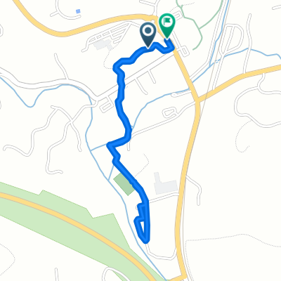
Cycling route in Cave Spring, Virginia, United States
Cycling route in Cave Spring, Virginia, United States
Cycling route in Cave Spring, Virginia, United States
Cycling route in Cave Spring, Virginia, United States