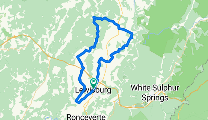
Cycling in Lewisburg
Discover a map of 14 cycling routes and bike trails near Lewisburg, created by our community.
Region portrait
Get to know Lewisburg
Find the right bike route for you through Lewisburg, where we've got 14 cycle routes to explore.
878 km
Tracked distance
14
Cycle routes
3,830
Population
Community
Most active users in Lewisburg
From our community
The best bike routes in and around Lewisburg
Unis Loop - Option B
Cycling route in Lewisburg, West Virginia, United States
- 62.3 km
- Distance
- 622 m
- Ascent
- 621 m
- Descent
Unis Loop 1
Cycling route in Lewisburg, West Virginia, United States
- 57.9 km
- Distance
- 373 m
- Ascent
- 373 m
- Descent
Unis Loop
Cycling route in Lewisburg, West Virginia, United States
- 62.3 km
- Distance
- 630 m
- Ascent
- 630 m
- Descent
Williamsburg Loop
Cycling route in Lewisburg, West Virginia, United States
- 76.8 km
- Distance
- 636 m
- Ascent
- 636 m
- Descent
Discover more routes
 Lewisburg, Blue Sulphur Springs - Option B - Lewisburg, Blue Sulphur Springs - Option B
- Distance
- 80 km
- Ascent
- 1,912 m
- Descent
- 1,915 m
- Location
- Lewisburg, West Virginia, United States
 Rader's Valley
- Distance
- 63.7 km
- Ascent
- 532 m
- Descent
- 517 m
- Location
- Lewisburg, West Virginia, United States
 ms150?
- Distance
- 114.4 km
- Ascent
- 1,535 m
- Descent
- 1,461 m
- Location
- Lewisburg, West Virginia, United States
 WOH 18 Mile Garter
- Distance
- 28.4 km
- Ascent
- 203 m
- Descent
- 203 m
- Location
- Lewisburg, West Virginia, United States
 219route
- Distance
- 97.3 km
- Ascent
- 1,127 m
- Descent
- 906 m
- Location
- Lewisburg, West Virginia, United States
 Lewisburg, Blue Sulphur Springs - Option B
- Distance
- 79 km
- Ascent
- 905 m
- Descent
- 905 m
- Location
- Lewisburg, West Virginia, United States
 Restful route in
- Distance
- 18.4 km
- Ascent
- 232 m
- Descent
- 234 m
- Location
- Lewisburg, West Virginia, United States
 Lewisburg, Blue Sulphur Springs
- Distance
- 75.7 km
- Ascent
- 892 m
- Descent
- 892 m
- Location
- Lewisburg, West Virginia, United States


