
30 Berlin Rd, Cromwell to 45 Farmstead Ln, West Hartford
- 25.8 km
- 180 m
- 134 m
- Cromwell, Connecticut, United States

Find the right bike route for you through Cromwell, where we've got 19 cycle routes to explore.
Tracked distance
Cycle routes
Population
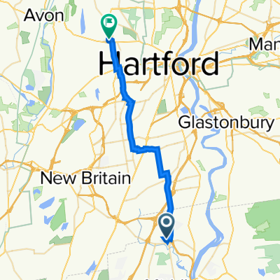
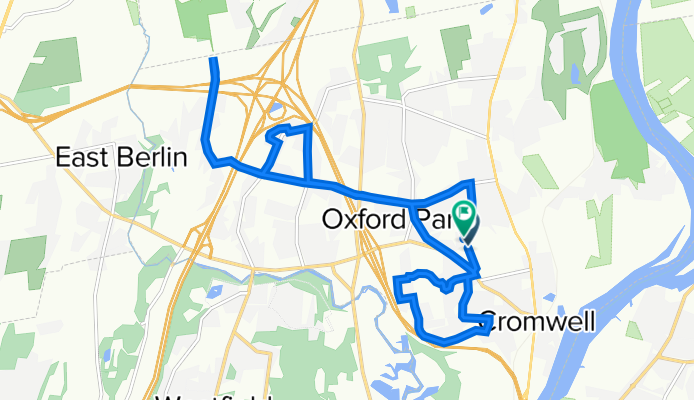
Cycling route in Cromwell, Connecticut, United States
Cycling route in Cromwell, Connecticut, United States
Cycling route in Cromwell, Connecticut, United States
Cycling route in Cromwell, Connecticut, United States