
Cycling in Lexington
Discover a map of 234 cycling routes and bike trails near Lexington, created by our community.
Region portrait
Get to know Lexington
Find the right bike route for you through Lexington, where we've got 234 cycle routes to explore. Most people get on their bikes to ride here in the months of June and July.
5,402 km
Tracked distance
234
Cycle routes
31,394
Population
Community
Most active users in Lexington


Handpicked routes
Discover Lexington through these collections
Tour
From our community
The best bike routes in and around Lexington

Liberty Square 50-miler
Cycling route in Lexington, Massachusetts, United States
- 85.5 km
- Distance
- 509 m
- Ascent
- 522 m
- Descent

Concord-Strawberry Hill-Carlisle
Cycling route in Lexington, Massachusetts, United States
- 50.6 km
- Distance
- 375 m
- Ascent
- 374 m
- Descent

Dunstable Doo-Dah 70-miler
Cycling route in Lexington, Massachusetts, United States
- 108.3 km
- Distance
- 739 m
- Ascent
- 737 m
- Descent

26 Hancock St, Lexington to 26 Hancock St, Lexington
Cycling route in Lexington, Massachusetts, United States
- 29.3 km
- Distance
- 90 m
- Ascent
- 90 m
- Descent
Discover more routes
 Lexington/Carlisle Sunday Longer Ride
- Distance
- 60.9 km
- Ascent
- 278 m
- Descent
- 280 m
- Location
- Lexington, Massachusetts, United States
 half lex loop
- Distance
- 30.9 km
- Ascent
- 141 m
- Descent
- 140 m
- Location
- Lexington, Massachusetts, United States
 Slocum Road 31, Lexington to Massachusetts Avenue 1842, Lexington
- Distance
- 46.4 km
- Ascent
- 330 m
- Descent
- 329 m
- Location
- Lexington, Massachusetts, United States
 2nd route no Stowe
- Distance
- 53.3 km
- Ascent
- 191 m
- Descent
- 194 m
- Location
- Lexington, Massachusetts, United States
 Acton/Maynard no Rte 2
- Distance
- 45.2 km
- Ascent
- 179 m
- Descent
- 203 m
- Location
- Lexington, Massachusetts, United States
 Verrill Farm Loop
- Distance
- 54 km
- Ascent
- 406 m
- Descent
- 431 m
- Location
- Lexington, Massachusetts, United States
 Broadway
- Distance
- 21.7 km
- Ascent
- 121 m
- Descent
- 163 m
- Location
- Lexington, Massachusetts, United States
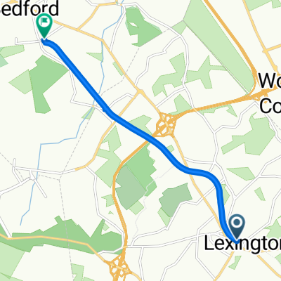 Minuteman Commuter Bikeway, Lexington to 74 Loomis St, Bedford
- Distance
- 6.2 km
- Ascent
- 20 m
- Descent
- 50 m
- Location
- Lexington, Massachusetts, United States