


3 S Main St, Petersham to 18 New Braintree Rd, Oakham
- 23 km
- 250 m
- 250 m
- Phillipston, Massachusetts, United States

Find the right bike route for you through Phillipston, where we've got 9 cycle routes to explore.
Tracked distance
Cycle routes
Population
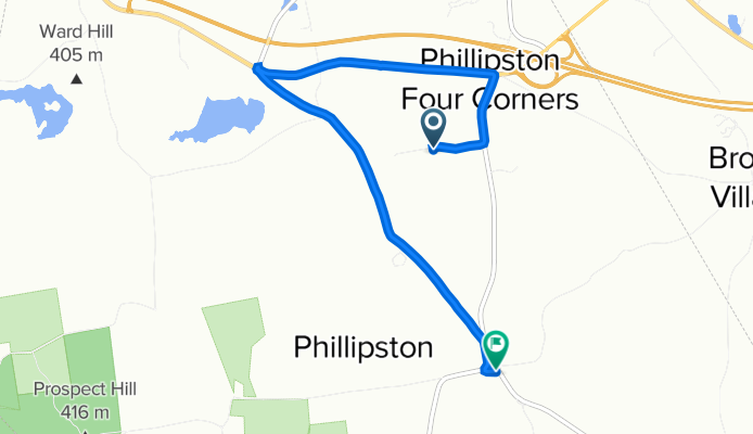
Cycling route in Phillipston, Massachusetts, United States
Cycling route in Phillipston, Massachusetts, United States
Cycling route in Phillipston, Massachusetts, United States
Cycling route in Phillipston, Massachusetts, United States


