
Cycling in Southborough
Discover a map of 12 cycling routes and bike trails near Southborough, created by our community.
Region portrait
Get to know Southborough
Find the right bike route for you through Southborough, where we've got 12 cycle routes to explore.
355 km
Tracked distance
12
Cycle routes
9,686
Population
Community
Most active users in Southborough


From our community
The best bike routes in and around Southborough

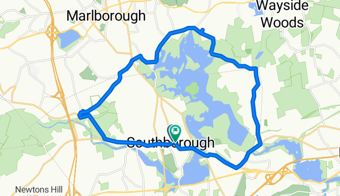
Peach Hill Loop
Cycling route in Southborough, Massachusetts, United States
- 44.9 km
- Distance
- 365 m
- Ascent
- 358 m
- Descent
chestnut trombetta eastly loop
Cycling route in Southborough, Massachusetts, United States
- 20.1 km
- Distance
- 176 m
- Ascent
- 177 m
- Descent

Callahan (possible ~10 miles loop)
Cycling route in Southborough, Massachusetts, United States
- 15.3 km
- Distance
- 226 m
- Ascent
- 223 m
- Descent

bagel loop
Cycling route in Southborough, Massachusetts, United States
- 18.1 km
- Distance
- 150 m
- Ascent
- 151 m
- Descent
Discover more routes
 20.60K - Southborough, USA
- Distance
- 20.6 km
- Ascent
- 210 m
- Descent
- 210 m
- Location
- Southborough, Massachusetts, United States
 Around Whitehall
- Distance
- 40 km
- Ascent
- 296 m
- Descent
- 297 m
- Location
- Southborough, Massachusetts, United States
 portuguese bakery loop
- Distance
- 28.7 km
- Ascent
- 126 m
- Descent
- 141 m
- Location
- Southborough, Massachusetts, United States
 66 Main St, Southborough to Village Path, Southborough
- Distance
- 12.3 km
- Ascent
- 106 m
- Descent
- 105 m
- Location
- Southborough, Massachusetts, United States
 7.6.22 Route
- Distance
- 18.1 km
- Ascent
- 186 m
- Descent
- 186 m
- Location
- Southborough, Massachusetts, United States
 36 Fisher Rd, Southborough to 115 Silver Leaf Way, Marlborough
- Distance
- 22 km
- Ascent
- 288 m
- Descent
- 269 m
- Location
- Southborough, Massachusetts, United States
 Relaxed route in Southborough
- Distance
- 5.2 km
- Ascent
- 146 m
- Descent
- 158 m
- Location
- Southborough, Massachusetts, United States
 400 Staples Dr, Framingham to 7 Essex St, Newburyport
- Distance
- 109.3 km
- Ascent
- 1,062 m
- Descent
- 1,143 m
- Location
- Southborough, Massachusetts, United States