Cycling in Pontiac
Discover a map of 245 cycling routes and bike trails near Pontiac, created by our community.
Region portrait
Get to know Pontiac
Find the right bike route for you through Pontiac, where we've got 245 cycle routes to explore. Most people get on their bikes to ride here in the months of May and July.
4,645 km
Tracked distance
245
Cycle routes
59,515
Population
Community
Most active users in Pontiac
From our community
The best bike routes in and around Pontiac
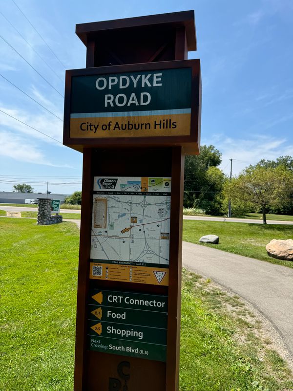
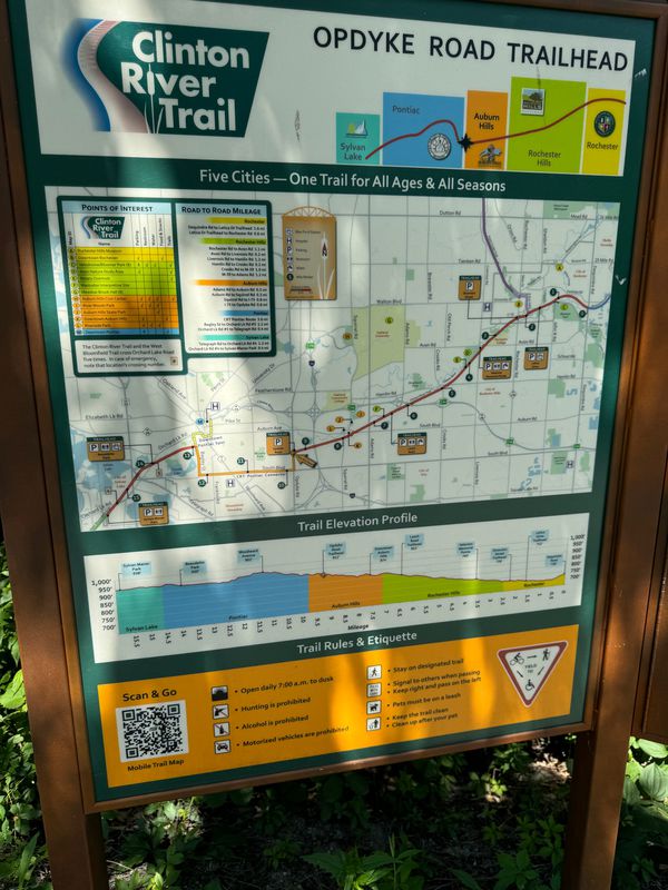
Clinton River Trail - Opdyke Rd Trailhead to Downtown Auburn Hills
Cycling route in Pontiac, Michigan, United States
- 2.7 km
- Distance
- 3 m
- Ascent
- 13 m
- Descent
Bicicletada Boricua
Cycling route in Pontiac, Michigan, United States
- 7.7 km
- Distance
- 18 m
- Ascent
- 22 m
- Descent
Discover more routes
 2515 Crofthill Dr, Auburn Hills to 2516 Crofthill Dr, Auburn Hills
- Distance
- 32.6 km
- Ascent
- 257 m
- Descent
- 256 m
- Location
- Pontiac, Michigan, United States
 To the Office
- Distance
- 14.4 km
- Ascent
- 77 m
- Descent
- 70 m
- Location
- Pontiac, Michigan, United States
 543 S Opdyke Rd, Auburn Hills to 543 S Opdyke Rd, Auburn Hills
- Distance
- 21 km
- Ascent
- 101 m
- Descent
- 99 m
- Location
- Pontiac, Michigan, United States
 Clinton River Trail, Auburn Hills to Clinton River Trail, Auburn Hills
- Distance
- 4 km
- Ascent
- 46 m
- Descent
- 50 m
- Location
- Pontiac, Michigan, United States
 Supersonic route in Auburn Hills
- Distance
- 18 km
- Ascent
- 69 m
- Descent
- 72 m
- Location
- Pontiac, Michigan, United States
 Blistering ride in Auburn Hills
- Distance
- 45.1 km
- Ascent
- 132 m
- Descent
- 179 m
- Location
- Pontiac, Michigan, United States
 543 S Opdyke Rd, Auburn Hills to 2029 Hempstead Rd, Auburn Hills
- Distance
- 19.2 km
- Ascent
- 65 m
- Descent
- 66 m
- Location
- Pontiac, Michigan, United States
 2716 Dixie Hwy, Waterford to 4007 Motorway Dr, Waterford
- Distance
- 6.6 km
- Ascent
- 41 m
- Descent
- 37 m
- Location
- Pontiac, Michigan, United States


