Cycling in Lexington
Discover a map of 26 cycling routes and bike trails near Lexington, created by our community.
Region portrait
Get to know Lexington
Find the right bike route for you through Lexington, where we've got 26 cycle routes to explore.
408 km
Tracked distance
26
Cycle routes
2,049
Population
Community
Most active users in Lexington
From our community
The best bike routes in and around Lexington
B2B00254 55449>55403 via Long Lake Rd, Diagonal Trail, 6th Ave SE
Cycling route in Lexington, Minnesota, United States
- 28.2 km
- Distance
- 59 m
- Ascent
- 84 m
- Descent
B2B00254 55449>55403 via Long Lake Rd, Diagonal Trail, 6th Ave SE CLONED FROM ROUTE 46598
Cycling route in Lexington, Minnesota, United States
- 28.3 km
- Distance
- 80 m
- Ascent
- 96 m
- Descent
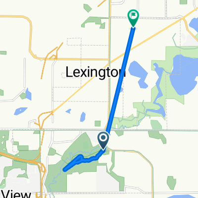
Shoreview to Village Bank (Blaine) via C.R. J
Cycling route in Lexington, Minnesota, United States
- 9.2 km
- Distance
- 25 m
- Ascent
- 17 m
- Descent
B2B00213 via Lexington Bike Path
Cycling route in Lexington, Minnesota, United States
- 11.7 km
- Distance
- 29 m
- Ascent
- 27 m
- Descent
Discover more routes
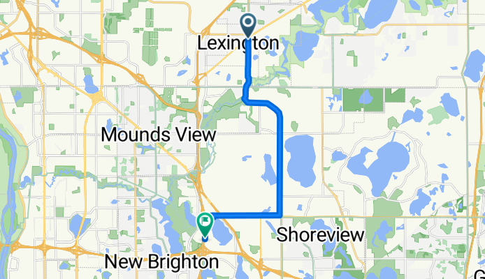
 1575 Sherwood Rd, Shoreview to 78 14th Ave SW, New Brighton
- Distance
- 12.7 km
- Ascent
- 328 m
- Descent
- 311 m
- Location
- Lexington, Minnesota, United States
 Shoreview
- Distance
- 12.9 km
- Ascent
- 37 m
- Descent
- 40 m
- Location
- Lexington, Minnesota, United States
 1346 Rice Creek Trail, Shoreview to 5910 Lexington Ave N, Shoreview
- Distance
- 73.2 km
- Ascent
- 490 m
- Descent
- 491 m
- Location
- Lexington, Minnesota, United States
 Route to Lexington Ave N, Blaine
- Distance
- 3.8 km
- Ascent
- 16 m
- Descent
- 16 m
- Location
- Lexington, Minnesota, United States
 B2B00227 55014>55107 via Lexington, Como & Wabasha
- Distance
- 29.3 km
- Ascent
- 54 m
- Descent
- 89 m
- Location
- Lexington, Minnesota, United States
 New Brighton Alano
- Distance
- 6.4 km
- Ascent
- 20 m
- Descent
- 21 m
- Location
- Lexington, Minnesota, United States
 33 Village Pkwy, Circle Pines to 10650 Baltimore St NE, Blaine
- Distance
- 8.2 km
- Ascent
- 8 m
- Descent
- 8 m
- Location
- Lexington, Minnesota, United States
 Relaxed route in Shoreview
- Distance
- 6.6 km
- Ascent
- 13 m
- Descent
- 13 m
- Location
- Lexington, Minnesota, United States


