
Cycling in Thornton
Discover a map of 15 cycling routes and bike trails near Thornton, created by our community.
Region portrait
Get to know Thornton
Find the right bike route for you through Thornton, where we've got 15 cycle routes to explore.
277 km
Tracked distance
15
Cycle routes
1,963
Population
Community
Most active users in Thornton


From our community
The best bike routes in and around Thornton

Waterville Valley Route
Cycling route in Thornton, New Hampshire, United States
- 23.1 km
- Distance
- 500 m
- Ascent
- 118 m
- Descent

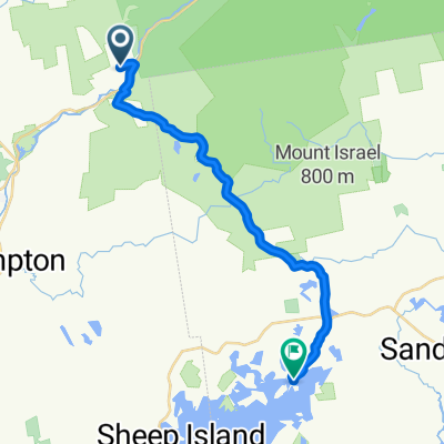
Upper Mad River Road 52, Thornton to Upper Mad River Road 52, Thornton
Cycling route in Thornton, New Hampshire, United States
- 16.9 km
- Distance
- 127 m
- Ascent
- 129 m
- Descent

Upper Mad River Road 55, Thornton to Upper Mad River Road 52, Thornton
Cycling route in Thornton, New Hampshire, United States
- 9.9 km
- Distance
- 128 m
- Ascent
- 97 m
- Descent

Recovered Route
Cycling route in Thornton, New Hampshire, United States
- 37.9 km
- Distance
- 390 m
- Ascent
- 487 m
- Descent
Discover more routes
 Upper Mad River Road 52, Thornton to Upper Mad River Road 52, Thornton
- Distance
- 19.9 km
- Ascent
- 222 m
- Descent
- 229 m
- Location
- Thornton, New Hampshire, United States
 Waterville Valley NH Rte49
- Distance
- 14.3 km
- Ascent
- 278 m
- Descent
- 33 m
- Location
- Thornton, New Hampshire, United States
- Rumney and Back
- Distance
- 16.8 km
- Ascent
- ---
- Descent
- ---
- Location
- Thornton, New Hampshire, United States
 Upper Mad River Road 55, Thornton to Upper Mad River Road 52, Thornton
- Distance
- 10 km
- Ascent
- 85 m
- Descent
- 95 m
- Location
- Thornton, New Hampshire, United States
 Upper Mad River Road to Long Point Road
- Distance
- 21 km
- Ascent
- 436 m
- Descent
- 566 m
- Location
- Thornton, New Hampshire, United States
 Upper Mad River Road 52, Thornton to Upper Mad River Road 52, Thornton
- Distance
- 16.9 km
- Ascent
- 136 m
- Descent
- 139 m
- Location
- Thornton, New Hampshire, United States
 52 Upper Mad River Rd, Thornton to 52 Upper Mad River Rd, Thornton
- Distance
- 12.5 km
- Ascent
- 200 m
- Descent
- 192 m
- Location
- Thornton, New Hampshire, United States
 Upper Mad River Road 52, Thornton to Upper Mad River Road 52, Thornton
- Distance
- 9.9 km
- Ascent
- 109 m
- Descent
- 118 m
- Location
- Thornton, New Hampshire, United States