
Cycling in Kinderhook
Discover a map of 13 cycling routes and bike trails near Kinderhook, created by our community.
Region portrait
Get to know Kinderhook
Find the right bike route for you through Kinderhook, where we've got 13 cycle routes to explore.
291 km
Tracked distance
13
Cycle routes
1,211
Population
Community
Most active users in Kinderhook


From our community
The best bike routes in and around Kinderhook

40 mile
Cycling route in Kinderhook, New York, United States
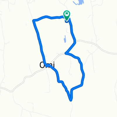
9J, Malden Bridge, Albany Turnpike, Rock City
- 65.8 km
- Distance
- 409 m
- Ascent
- 411 m
- Descent

MA State Line
Cycling route in Kinderhook, New York, United States
- 78 km
- Distance
- 730 m
- Ascent
- 711 m
- Descent
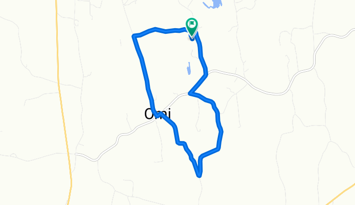
Quinn Ln, Ghent to Quinn Ln, Ghent
Cycling route in Kinderhook, New York, United States
- 8.1 km
- Distance
- 100 m
- Ascent
- 88 m
- Descent
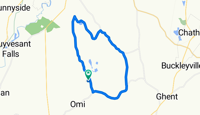
Quinn Ln, Ghent to Quinn Ln, Ghent
Cycling route in Kinderhook, New York, United States
- 14.9 km
- Distance
- 162 m
- Ascent
- 171 m
- Descent
Discover more routes
 Quinn Ln, Ghent to Quinn Ln, Ghent
- Distance
- 16.7 km
- Ascent
- 203 m
- Descent
- 206 m
- Location
- Kinderhook, New York, United States
 Quinn Ln, Ghent to Quinn Ln, Ghent
- Distance
- 8.1 km
- Ascent
- 116 m
- Descent
- 121 m
- Location
- Kinderhook, New York, United States
 181 Wagon Wheel Dr, Kinderhook to 467–499 George Street Ext, Ghent
- Distance
- 11.7 km
- Ascent
- 172 m
- Descent
- 127 m
- Location
- Kinderhook, New York, United States
 1800 US-9, Stuyvesant to 320–372 Ostrander Rd, Ghent
- Distance
- 14.2 km
- Ascent
- 233 m
- Descent
- 187 m
- Location
- Kinderhook, New York, United States
 61 Chatham St, Kinderhook to 1 Hudson St, Kinderhook
- Distance
- 13 km
- Ascent
- 81 m
- Descent
- 69 m
- Location
- Kinderhook, New York, United States
 Quinn Ln, Ghent to Quinn Ln, Ghent
- Distance
- 8.1 km
- Ascent
- 95 m
- Descent
- 95 m
- Location
- Kinderhook, New York, United States
 181 Wagon Wheel Dr, Kinderhook to 58–64 Swamp Rd, West Stockbridge
- Distance
- 36.3 km
- Ascent
- 554 m
- Descent
- 334 m
- Location
- Kinderhook, New York, United States
 181 Wagon Wheel Dr, Kinderhook to 52 Main St, Chatham
- Distance
- 12.2 km
- Ascent
- 188 m
- Descent
- 120 m
- Location
- Kinderhook, New York, United States