
Cycling in Water Mill
Discover a map of 9 cycling routes and bike trails near Water Mill, created by our community.
Region portrait
Get to know Water Mill
Find the right bike route for you through Water Mill, where we've got 9 cycle routes to explore.
241 km
Tracked distance
9
Cycle routes
1,559
Population

From our community
The best bike routes in and around Water Mill
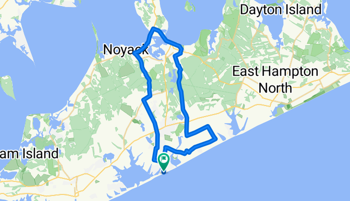
Estate Sale
Cycling route in Water Mill, New York, United States of America
- 36.8 km
- Distance
- 107 m
- Ascent
- 106 m
- Descent
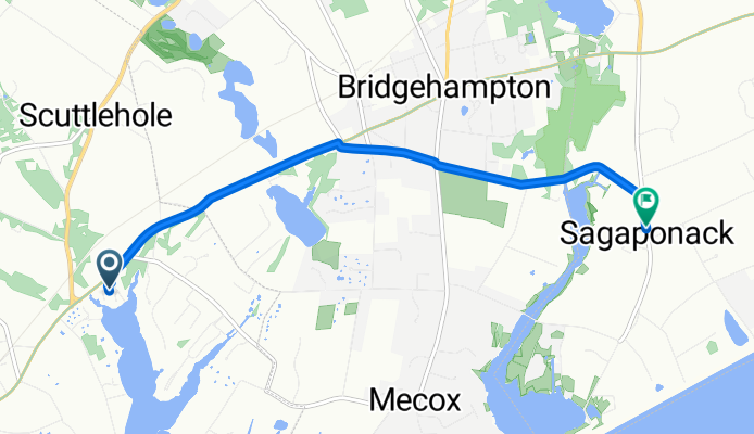
15.5 miles flat
Cycling route in Water Mill, New York, United States of America
- 12.3 km
- Distance
- 0 m
- Ascent
- 6 m
- Descent
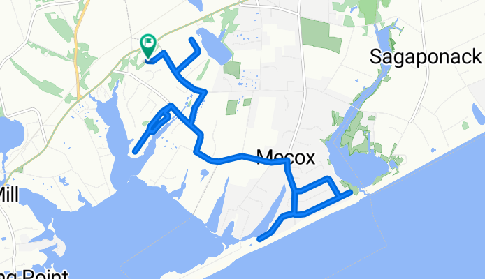
Hamptons Beach Ride - 7/1/17
Cycling route in Water Mill, New York, United States of America
- 16.6 km
- Distance
- 26 m
- Ascent
- 24 m
- Descent
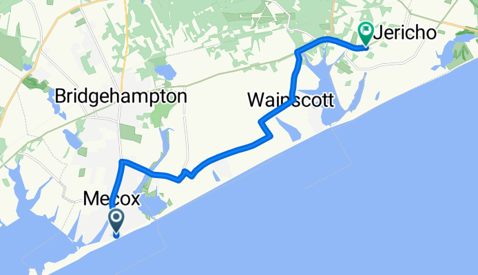
6 Reed Pond Ct, Water Mill to 561 Sagg Main St, Sagaponack
Cycling route in Water Mill, New York, United States of America
- 6.1 km
- Distance
- 71 m
- Ascent
- 68 m
- Descent
Discover more routes
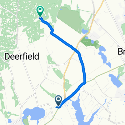
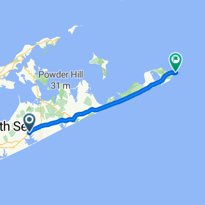 6 Reed Pond Ct, Water Mill to 2000 Montauk Hwy, Montauk
- Distance
- 46.1 km
- Ascent
- 353 m
- Descent
- 350 m
- Location
- Water Mill, New York, United States of America
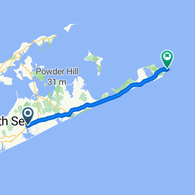 1435–1461 Montauk Hwy, Water Mill to 2000–2002 Montauk Hwy, Montauk
- Distance
- 45.8 km
- Ascent
- 0 m
- Descent
- 3 m
- Location
- Water Mill, New York, United States of America
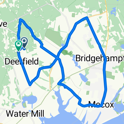 Girls Ride 2017
- Distance
- 25.8 km
- Ascent
- 97 m
- Descent
- 91 m
- Location
- Water Mill, New York, United States of America
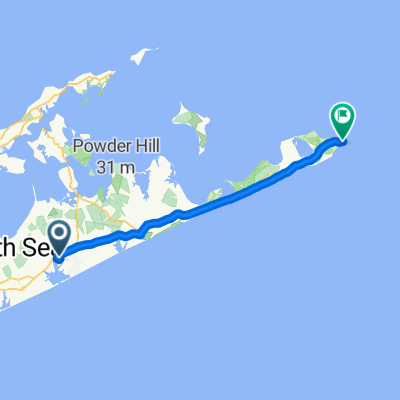 116–156 Swans Neck Ln, Water Mill to 2000 Montauk Hwy, Montauk
- Distance
- 46.3 km
- Ascent
- 328 m
- Descent
- 330 m
- Location
- Water Mill, New York, United States of America
 1040 Montauk Hwy, Water Mill to 214 Little Noyac Path, Water Mill
- Distance
- 5.3 km
- Ascent
- 78 m
- Descent
- 40 m
- Location
- Water Mill, New York, United States of America