
Cycling in Middleburg Heights
Discover a map of 28 cycling routes and bike trails near Middleburg Heights, created by our community.
Region portrait
Get to know Middleburg Heights
Find the right bike route for you through Middleburg Heights, where we've got 28 cycle routes to explore.
254 km
Tracked distance
28
Cycle routes
15,946
Population
Community
Most active users in Middleburg Heights


From our community
The best bike routes in and around Middleburg Heights

Pedal-to-the-Fest 2016
Cycling route in Middleburg Heights, Ohio, United States of America
- 9.9 km
- Distance
- 42 m
- Ascent
- 64 m
- Descent

Restful route in Middleburg Heights
Cycling route in Middleburg Heights, Ohio, United States of America
- 4.7 km
- Distance
- 51 m
- Ascent
- 30 m
- Descent

ride through Middleburg Heights
Cycling route in Middleburg Heights, Ohio, United States of America
- 17.7 km
- Distance
- 74 m
- Ascent
- 71 m
- Descent

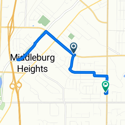
13672 Trenton Trail, Middleburg Heights to 13673 Trenton Trail, Middleburg Heights
Cycling route in Middleburg Heights, Ohio, United States of America
- 2 km
- Distance
- 3 m
- Ascent
- 3 m
- Descent
Discover more routes
 10233 Eastland Rd, Strongsville to Emerald Necklace Trail, Strongsville
- Distance
- 16.7 km
- Ascent
- 47 m
- Descent
- 59 m
- Location
- Middleburg Heights, Ohio, United States of America
 train depot
- Distance
- 7.7 km
- Ascent
- 37 m
- Descent
- 55 m
- Location
- Middleburg Heights, Ohio, United States of America
 Bagley Road 18590, Cleveland to Bagley Road 18324, Middleburg Heights
- Distance
- 23.7 km
- Ascent
- 21 m
- Descent
- 23 m
- Location
- Middleburg Heights, Ohio, United States of America
 7901–8145 Big Creek Pkwy, Strongsville to 7734 W 130th St, Middleburg Heights
- Distance
- 6.6 km
- Ascent
- 52 m
- Descent
- 24 m
- Location
- Middleburg Heights, Ohio, United States of America
 Slow ride in Middleburg Heights
- Distance
- 7.6 km
- Ascent
- 46 m
- Descent
- 36 m
- Location
- Middleburg Heights, Ohio, United States of America
 7518–7550 Gerald Dr, Middleburg Heights to 13701 Trenton Trail, Middleburg Heights
- Distance
- 3.3 km
- Ascent
- 27 m
- Descent
- 19 m
- Location
- Middleburg Heights, Ohio, United States of America
 Whitney Road 19157, Strongsville to South Rocky River Drive 50, Berea
- Distance
- 4.3 km
- Ascent
- 78 m
- Descent
- 75 m
- Location
- Middleburg Heights, Ohio, United States of America
 41.367° N -81.831° W to 41.363° N -81.826° W
- Distance
- 1.3 km
- Ascent
- 17 m
- Descent
- 22 m
- Location
- Middleburg Heights, Ohio, United States of America