
Cycling in Sandusky
Discover a map of 20 cycling routes and bike trails near Sandusky, created by our community.
Region portrait
Get to know Sandusky
Find the right bike route for you through Sandusky, where we've got 20 cycle routes to explore.
401 km
Tracked distance
20
Cycle routes
25,793
Population
Community
Most active users in Sandusky


From our community
The best bike routes in and around Sandusky


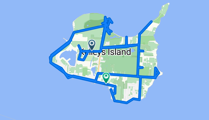


Sandusky Bay Long Trip
Cycling route in Sandusky, Ohio, United States
- 27 km
- Distance
- 18 m
- Ascent
- 20 m
- Descent

Discover more routes
 santwon
- Distance
- 9.1 km
- Ascent
- 22 m
- Descent
- 22 m
- Location
- Sandusky, Ohio, United States
 East Washington Row 115, Sandusky to West Shoreline Drive 109, Sandusky
- Distance
- 10.9 km
- Ascent
- 41 m
- Descent
- 13 m
- Location
- Sandusky, Ohio, United States
 Sprucewood Dr, Sandusky to 133 E Water St, Sandusky
- Distance
- 7.2 km
- Ascent
- 10 m
- Descent
- 7 m
- Location
- Sandusky, Ohio, United States
 41.486° N -82.686° W to 41.487° N -82.687° W
- Distance
- 24.9 km
- Ascent
- 791 m
- Descent
- 785 m
- Location
- Sandusky, Ohio, United States
 East Washington Row 100, Sandusky to West Shoreline Drive 233, Sandusky
- Distance
- 9.2 km
- Ascent
- 34 m
- Descent
- 3 m
- Location
- Sandusky, Ohio, United States
 1190 Cleveland Rd, Sandusky to 1507 McDonough St, Sandusky
- Distance
- 5.1 km
- Ascent
- 9 m
- Descent
- 10 m
- Location
- Sandusky, Ohio, United States
 123 46th St, Sandusky to 123 46th St, Sandusky
- Distance
- 7.5 km
- Ascent
- 20 m
- Descent
- 18 m
- Location
- Sandusky, Ohio, United States
 215 E Shoreline Dr, Sandusky to 513 E Monroe St, Sandusky
- Distance
- 1.2 km
- Ascent
- 9 m
- Descent
- 0 m
- Location
- Sandusky, Ohio, United States