
Cycling in Swanton
Discover a map of 16 cycling routes and bike trails near Swanton, created by our community.
Region portrait
Get to know Swanton
Find the right bike route for you through Swanton, where we've got 16 cycle routes to explore.
374 km
Tracked distance
16
Cycle routes
3,690
Population
Community
Most active users in Swanton


From our community
The best bike routes in and around Swanton

4600 Waterville Swanton Rd, Swanton to 4600 Waterville Swanton Rd, Swanton
Cycling route in Swanton, Ohio, United States of America
- 32.3 km
- Distance
- 136 m
- Ascent
- 148 m
- Descent

Waterville Swanton Road 3520 to Waterville Swanton Road 3520
Cycling route in Swanton, Ohio, United States of America
- 12.9 km
- Distance
- 66 m
- Ascent
- 53 m
- Descent

Route to 231 Clinton St, Wauseon
Cycling route in Swanton, Ohio, United States of America
- 27.9 km
- Distance
- 36 m
- Ascent
- 21 m
- Descent

5400–5956 Jeffers Rd, Swanton to 1853 Princeton Dr, Toledo
Cycling route in Swanton, Ohio, United States of America
- 26.7 km
- Distance
- 20 m
- Ascent
- 45 m
- Descent
Discover more routes
 Recovered Route
- Distance
- 6.1 km
- Ascent
- 66 m
- Descent
- 64 m
- Location
- Swanton, Ohio, United States of America
 3754–4056 Wilkins Rd, Swanton to 1–3 W Main St, Berlin Heights
- Distance
- 137.3 km
- Ascent
- 302 m
- Descent
- 270 m
- Location
- Swanton, Ohio, United States of America
 Waterville Swanton Road 3520 to Waterville Swanton Road 3520
- Distance
- 9.7 km
- Ascent
- 6 m
- Descent
- 16 m
- Location
- Swanton, Ohio, United States of America
 6936 CR-2, Swanton to 425 W Airport Hwy, Swanton
- Distance
- 16.7 km
- Ascent
- 53 m
- Descent
- 51 m
- Location
- Swanton, Ohio, United States of America
 Route from Northwestern Ohio Rails-to-Trails Associ, Swanton
- Distance
- 3.1 km
- Ascent
- 30 m
- Descent
- 27 m
- Location
- Swanton, Ohio, United States of America
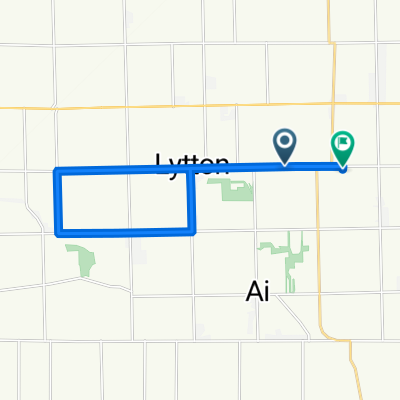
 Girdham Rd, Swanton to Girdham Rd, Swanton
- Distance
- 25 km
- Ascent
- 52 m
- Descent
- 56 m
- Location
- Swanton, Ohio, United States of America
 3001–3999 CR-N, Swanton to 2595 CR-N, Swanton
- Distance
- 16.4 km
- Ascent
- 13 m
- Descent
- 9 m
- Location
- Swanton, Ohio, United States of America
 4340 Waterville Swanton Rd, Swanton to 11575–11669 Monclova Rd, Swanton
- Distance
- 19.5 km
- Ascent
- 97 m
- Descent
- 82 m
- Location
- Swanton, Ohio, United States of America