
Cycling in Willoughby Hills
Discover a map of 10 cycling routes and bike trails near Willoughby Hills, created by our community.
Region portrait
Get to know Willoughby Hills
Find the right bike route for you through Willoughby Hills, where we've got 10 cycle routes to explore.
200 km
Tracked distance
10
Cycle routes
9,485
Population
Community
Most active users in Willoughby Hills


From our community
The best bike routes in and around Willoughby Hills
River Road - 20mi OAB
Cycling route in Willoughby Hills, Ohio, United States
- 16.5 km
- Distance
- 171 m
- Ascent
- 128 m
- Descent

Emerald Necklace
Cycling route in Willoughby Hills, Ohio, United States
- 23 km
- Distance
- 233 m
- Ascent
- 181 m
- Descent

Chardon Road 35750, Willoughby Hills to Chardon Road 35750, Willoughby Hills
Cycling route in Willoughby Hills, Ohio, United States
- 2.9 km
- Distance
- 0 m
- Ascent
- 7 m
- Descent

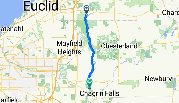
7038–7074 South Ln, Waite Hill to 11284 Caves Rd, Chesterland
Cycling route in Willoughby Hills, Ohio, United States
- 14.1 km
- Distance
- 209 m
- Ascent
- 106 m
- Descent
Discover more routes
 Emerald Necklace
- Distance
- 66.8 km
- Ascent
- 633 m
- Descent
- 715 m
- Location
- Willoughby Hills, Ohio, United States
 North Chagrin to Home
- Distance
- 16.5 km
- Ascent
- 107 m
- Descent
- 61 m
- Location
- Willoughby Hills, Ohio, United States
 1
1- Distance
- 8.9 km
- Ascent
- 62 m
- Descent
- 62 m
- Location
- Willoughby Hills, Ohio, United States
 2850 River Rd, Willoughby Hills to 1260 Washington Blvd, Mayfield Heights
- Distance
- 11.7 km
- Ascent
- 134 m
- Descent
- 23 m
- Location
- Willoughby Hills, Ohio, United States
 35125 Martin Rd, Willoughby Hills to 11758 Lyman Rd, Chesterland
- Distance
- 15.2 km
- Ascent
- 243 m
- Descent
- 147 m
- Location
- Willoughby Hills, Ohio, United States
 11109–11125 County Line Rd, Chesterland to 11758 Lyman Rd, Chesterland
- Distance
- 24.5 km
- Ascent
- 337 m
- Descent
- 274 m
- Location
- Willoughby Hills, Ohio, United States