
Cycling in Milford
Discover a map of 9 cycling routes and bike trails near Milford, created by our community.
Region portrait
Get to know Milford
Find the right bike route for you through Milford, where we've got 9 cycle routes to explore.
393 km
Tracked distance
9
Cycle routes
1,021
Population
Community
Most active users in Milford
From our community
The best bike routes in and around Milford
water gap Milford to Milford
Cycling route in Milford, Pennsylvania, United States of America
- 80 km
- Distance
- 1,068 m
- Ascent
- 1,067 m
- Descent
301 Broad St, Milford to 129 PA-507, Hawley
Cycling route in Milford, Pennsylvania, United States of America
- 37.9 km
- Distance
- 776 m
- Ascent
- 556 m
- Descent
GAP Day?
Cycling route in Milford, Pennsylvania, United States of America
- 134.2 km
- Distance
- 757 m
- Ascent
- 638 m
- Descent
Restful route in Dingmans Ferry
Cycling route in Milford, Pennsylvania, United States of America
- 4.5 km
- Distance
- 103 m
- Ascent
- 103 m
- Descent
Discover more routes
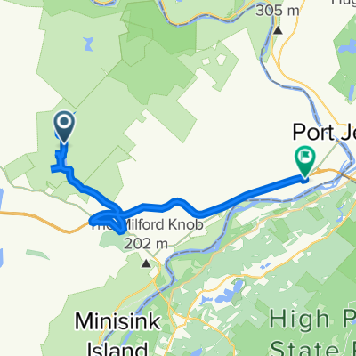
- 311 Old Milford Rd, Milford to 311 Old Milford Rd, Milford
- Distance
- 15.9 km
- Ascent
- 217 m
- Descent
- 215 m
- Location
- Milford, Pennsylvania, United States of America
- Schocopee Road, Milford to Reuben Bell Drive 103, Matamoras
- Distance
- 23.2 km
- Ascent
- 201 m
- Descent
- 448 m
- Location
- Milford, Pennsylvania, United States of America
- US-209, Dingmans Ferry to US-209, Dingmans Ferry
- Distance
- 18.1 km
- Ascent
- 158 m
- Descent
- 153 m
- Location
- Milford, Pennsylvania, United States of America
- 2 Milford Scranton
- Distance
- 76.4 km
- Ascent
- 841 m
- Descent
- 628 m
- Location
- Milford, Pennsylvania, United States of America
- 100–110 Stonefield Rd, Milford to 442 Cummins Hill Rd, Milford
- Distance
- 3 km
- Ascent
- 102 m
- Descent
- 10 m
- Location
- Milford, Pennsylvania, United States of America