Cycling in Mesa
Discover a map of 312 cycling routes and bike trails near Mesa, created by our community.
Region portrait
Get to know Mesa
Find the right bike route for you through Mesa, where we've got 312 cycle routes to explore. Most people get on their bikes to ride here in the months of September and October.
7,705 km
Tracked distance
312
Cycle routes
439,041
Population
Community
Most active users in Mesa
From our community
The best bike routes in and around Mesa
Paragon to Rio Verde
Cycling route in Mesa, Arizona, United States
- 90.8 km
- Distance
- 370 m
- Ascent
- 370 m
- Descent
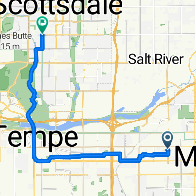
Relaxed route in Mesa
Cycling route in Mesa, Arizona, United States
- 39 km
- Distance
- 810 m
- Ascent
- 812 m
- Descent
Discover more routes
 73km Uptown Market
- Distance
- 73.4 km
- Ascent
- 67 m
- Descent
- 65 m
- Location
- Mesa, Arizona, United States
 canal-pecans-Lindsey-brown-power-Alma school
- Distance
- 70.2 km
- Ascent
- 90 m
- Descent
- 89 m
- Location
- Mesa, Arizona, United States
 Home - Echo Coffee
- Distance
- 17.4 km
- Ascent
- 46 m
- Descent
- 39 m
- Location
- Mesa, Arizona, United States
 24km morning ride
- Distance
- 24 km
- Ascent
- 29 m
- Descent
- 27 m
- Location
- Mesa, Arizona, United States
 Steady ride in Tempe
- Distance
- 15.9 km
- Ascent
- 38 m
- Descent
- 64 m
- Location
- Mesa, Arizona, United States
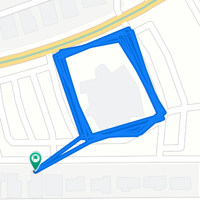
 Peter
Peter- Distance
- 2 km
- Ascent
- 0 m
- Descent
- 0 m
- Location
- Mesa, Arizona, United States
 East Jaeger Street 2235, Mesa to East Jaeger Street 2235, Mesa
- Distance
- 31.5 km
- Ascent
- 40 m
- Descent
- 19 m
- Location
- Mesa, Arizona, United States
 East Jaeger Street 2235, Mesa to East Jaeger Street 2235, Mesa
- Distance
- 32.6 km
- Ascent
- 37 m
- Descent
- 9 m
- Location
- Mesa, Arizona, United States


