
Cycling in Ashland
Discover a map of 23 cycling routes and bike trails near Ashland, created by our community.
Region portrait
Get to know Ashland
Find the right bike route for you through Ashland, where we've got 23 cycle routes to explore.
614 km
Tracked distance
23
Cycle routes
21,925
Population
Community
Most active users in Ashland


From our community
The best bike routes in and around Ashland

Lake Chabot parking to dam
Cycling route in Ashland, California, United States
- 2.5 km
- Distance
- 103 m
- Ascent
- 109 m
- Descent

Redwood - Skyline Loop
Cycling route in Ashland, California, United States
- 40.5 km
- Distance
- 608 m
- Ascent
- 650 m
- Descent

Palomares Out and Back
Cycling route in Ashland, California, United States
- 50.3 km
- Distance
- 762 m
- Ascent
- 767 m
- Descent

5 Canyons Mountain Ride
Cycling route in Ashland, California, United States
- 35.4 km
- Distance
- 575 m
- Ascent
- 578 m
- Descent
Discover more routes
 Lake Chabot
- Distance
- 19.4 km
- Ascent
- 487 m
- Descent
- 515 m
- Location
- Ashland, California, United States
 BayBike: Day 3
- Distance
- 80.6 km
- Ascent
- 850 m
- Descent
- 1,043 m
- Location
- Ashland, California, United States
 CV / Moraga / Danville loop
- Distance
- 70.5 km
- Ascent
- 672 m
- Descent
- 673 m
- Location
- Ashland, California, United States
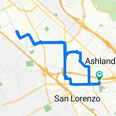 Steady ride in San Lorenzo
- Distance
- 11.9 km
- Ascent
- 32 m
- Descent
- 34 m
- Location
- Ashland, California, United States
 Relaxed route in Castro Valley
- Distance
- 8.3 km
- Ascent
- 197 m
- Descent
- 130 m
- Location
- Ashland, California, United States
 West Shore Trail, Castro Valley to Lake Chabot Road 17404, Castro Valley
- Distance
- 6.3 km
- Ascent
- 107 m
- Descent
- 114 m
- Location
- Ashland, California, United States
 Cull Out and Back
- Distance
- 31.5 km
- Ascent
- 291 m
- Descent
- 298 m
- Location
- Ashland, California, United States
 To Work
- Distance
- 51.7 km
- Ascent
- 95 m
- Descent
- 117 m
- Location
- Ashland, California, United States