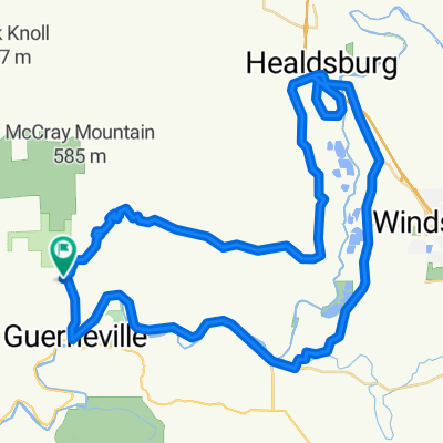
Cycling in Guerneville
Discover a map of 31 cycling routes and bike trails near Guerneville, created by our community.
Region portrait
Get to know Guerneville
Find the right bike route for you through Guerneville, where we've got 31 cycle routes to explore.
2,042 km
Tracked distance
31
Cycle routes
4,534
Population
Community
Most active users in Guerneville
From our community
The best bike routes in and around Guerneville
Rio Nido3
Cycling route in Guerneville, California, United States
- 50.7 km
- Distance
- 490 m
- Ascent
- 511 m
- Descent
Rio Nido1
Cycling route in Guerneville, California, United States
- 77.7 km
- Distance
- 866 m
- Ascent
- 866 m
- Descent
Guerneville - AnchorBay
Cycling route in Guerneville, California, United States
- 95.6 km
- Distance
- 1,133 m
- Ascent
- 1,040 m
- Descent
AnchorBay-Geysers-Guerneville
Cycling route in Guerneville, California, United States
- 185.9 km
- Distance
- 2,753 m
- Ascent
- 2,649 m
- Descent
Discover more routes
 Sweetwater - Westside - River
- Distance
- 40.2 km
- Ascent
- 617 m
- Descent
- 617 m
- Location
- Guerneville, California, United States
 14270 Highland Ave, Guerneville to 14282 Highland Ave, Guerneville
- Distance
- 23.4 km
- Ascent
- 98 m
- Descent
- 99 m
- Location
- Guerneville, California, United States
 Guerneville to tamalpais valley
- Distance
- 127.3 km
- Ascent
- 818 m
- Descent
- 808 m
- Location
- Guerneville, California, United States
 Sweetwater - Westside - Eastside - River
- Distance
- 64.4 km
- Ascent
- 451 m
- Descent
- 451 m
- Location
- Guerneville, California, United States
 Vineman 70.3 Bike Course
- Distance
- 85.7 km
- Ascent
- 442 m
- Descent
- 427 m
- Location
- Guerneville, California, United States
 14110 Old Cazadero Rd, Guerneville to 13250 River Rd, Guerneville
- Distance
- 6 km
- Ascent
- 61 m
- Descent
- 75 m
- Location
- Guerneville, California, United States
 Guerneville-Cazadaro-Ft Ross Rd-Myers Grade
- Distance
- 73.3 km
- Ascent
- 850 m
- Descent
- 850 m
- Location
- Guerneville, California, United States
 Guerneville To Bodega Bay Loop
- Distance
- 74.3 km
- Ascent
- 641 m
- Descent
- 671 m
- Location
- Guerneville, California, United States


