
Cycling in La Mesa
Discover a map of 303 cycling routes and bike trails near La Mesa, created by our community.
Region portrait
Get to know La Mesa
Find the right bike route for you through La Mesa, where we've got 303 cycle routes to explore. Most people get on their bikes to ride here in the months of September and October.
10,705 km
Tracked distance
303
Cycle routes
57,065
Population
Community
Most active users in La Mesa


From our community
The best bike routes in and around La Mesa

Chargers Day Ride
Cycling route in La Mesa, California, United States
- 80.2 km
- Distance
- 529 m
- Ascent
- 479 m
- Descent

Bruce Millikin Century NOV2013 TREK
Cycling route in La Mesa, California, United States
- 161.3 km
- Distance
- 720 m
- Ascent
- 720 m
- Descent

Chili's Ride
Cycling route in La Mesa, California, United States
- 60.7 km
- Distance
- 330 m
- Ascent
- 332 m
- Descent
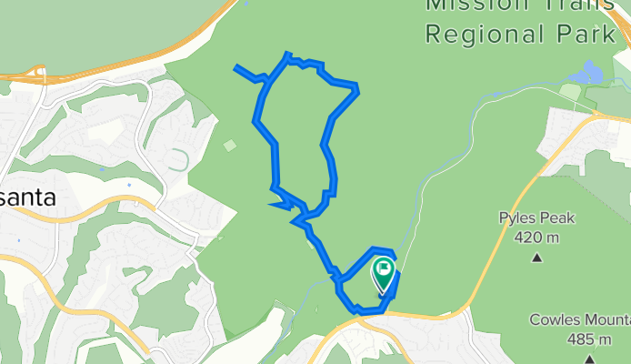
20110711 Mission Trails Regional Park
Cycling route in La Mesa, California, United States
- 11.9 km
- Distance
- 335 m
- Ascent
- 338 m
- Descent
Discover more routes
 La Mesa to Balboa Park
- Distance
- 16.6 km
- Ascent
- 84 m
- Descent
- 170 m
- Location
- La Mesa, California, United States
 Lake Murray
- Distance
- 9.1 km
- Ascent
- 21 m
- Descent
- 19 m
- Location
- La Mesa, California, United States
 Sunday Morning
- Distance
- 71.7 km
- Ascent
- 400 m
- Descent
- 392 m
- Location
- La Mesa, California, United States
 Recovered Route
- Distance
- 21.3 km
- Ascent
- 246 m
- Descent
- 242 m
- Location
- La Mesa, California, United States
 Del Mar Fairgrounds
- Distance
- 31.1 km
- Ascent
- 233 m
- Descent
- 182 m
- Location
- La Mesa, California, United States
 Tierrasanta Loop, MCAS & Qualcomm Hill
- Distance
- 60.5 km
- Ascent
- 521 m
- Descent
- 523 m
- Location
- La Mesa, California, United States
 Tierrasanta & MCAS Loop
- Distance
- 44 km
- Ascent
- 401 m
- Descent
- 401 m
- Location
- La Mesa, California, United States
 2. san diego lake Murray - Palomar Mountain
- Distance
- 147.4 km
- Ascent
- 2,528 m
- Descent
- 1,069 m
- Location
- La Mesa, California, United States