
Cycling in La Presa
Discover a map of 62 cycling routes and bike trails near La Presa, created by our community.
Region portrait
Get to know La Presa
Find the right bike route for you through La Presa, where we've got 62 cycle routes to explore. Most people get on their bikes to ride here in the month of June.
911 km
Tracked distance
62
Cycle routes
34,169
Population
Community
Most active users in La Presa


From our community
The best bike routes in and around La Presa

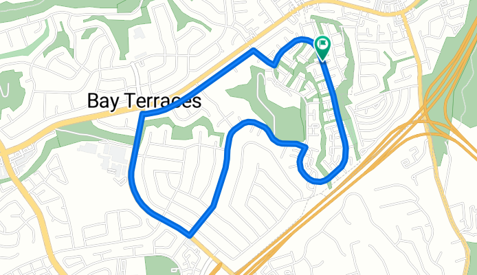
Spring Valley for Beginners
Cycling route in La Presa, California, United States
- 16.7 km
- Distance
- 178 m
- Ascent
- 180 m
- Descent

1st half of cycle eastlake poker route 2016
Cycling route in La Presa, California, United States
- 17 km
- Distance
- 113 m
- Ascent
- 173 m
- Descent
manzana way training circle
Cycling route in La Presa, California, United States
- 5 km
- Distance
- 119 m
- Ascent
- 119 m
- Descent

8737–8899 Spring Canyon Dr, Spring Valley to 6491 Imperial Ave, San Diego
Cycling route in La Presa, California, United States
- 7.5 km
- Distance
- 213 m
- Ascent
- 226 m
- Descent
Discover more routes
 Sporty route in Chula Vista
- Distance
- 20.9 km
- Ascent
- 289 m
- Descent
- 289 m
- Location
- La Presa, California, United States
 Glencoe Drive 724, San Diego to Glencoe Drive 724, San Diego
- Distance
- 21.8 km
- Ascent
- 176 m
- Descent
- 178 m
- Location
- La Presa, California, United States
 Ruta de Hoy
- Distance
- 16.1 km
- Ascent
- 264 m
- Descent
- 258 m
- Location
- La Presa, California, United States
 San D flat route
- Distance
- 67.5 km
- Ascent
- 380 m
- Descent
- 377 m
- Location
- La Presa, California, United States
 Casa-OtayRanch-LagoOtay-Casa 15 millas
- Distance
- 23.9 km
- Ascent
- 293 m
- Descent
- 295 m
- Location
- La Presa, California, United States
 Miguel Syncon, Bonita to Miguel Syncon, Bonita
- Distance
- 11.4 km
- Ascent
- 249 m
- Descent
- 250 m
- Location
- La Presa, California, United States
 Slow ride in Chula Vista
- Distance
- 18.5 km
- Ascent
- 241 m
- Descent
- 243 m
- Location
- La Presa, California, United States
 441 Agua Vista Dr, Chula Vista to 441 Agua Vista Dr, Chula Vista
- Distance
- 9.9 km
- Ascent
- 147 m
- Descent
- 149 m
- Location
- La Presa, California, United States
Routes from La Presa
By bicycle from
La Presa to National City
Routes to La Presa
By bicycle from
National City to La Presa