
Cycling in Lebec
Discover a map of 9 cycling routes and bike trails near Lebec, created by our community.
Region portrait
Get to know Lebec
Find the right bike route for you through Lebec, where we've got 9 cycle routes to explore.
1,037 km
Tracked distance
9
Cycle routes
1,468
Population


From our community
The best bike routes in and around Lebec

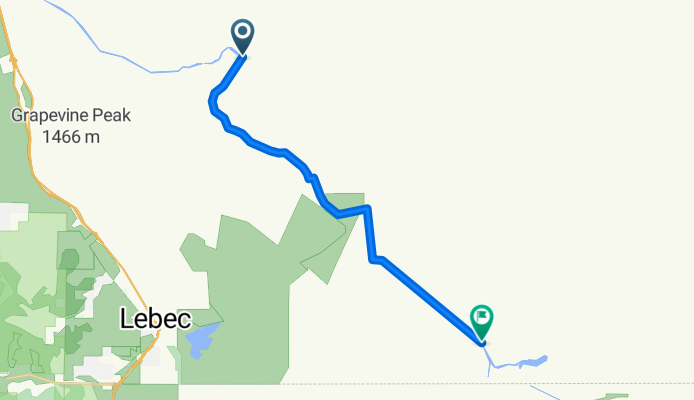
CA tehapachi 2
Cycling route in Lebec, California, United States
- 19.5 km
- Distance
- 1,200 m
- Ascent
- 633 m
- Descent

Angeles National Forest 50k
Cycling route in Lebec, California, United States
- 51 km
- Distance
- 360 m
- Ascent
- 1,099 m
- Descent

Discover more routes
 LosPadresLoop
- Distance
- 457.3 km
- Ascent
- 2,706 m
- Descent
- 3,895 m
- Location
- Lebec, California, United States
 tehapachi guess 1
- Distance
- 16 km
- Ascent
- 1,665 m
- Descent
- 1,081 m
- Location
- Lebec, California, United States
 Recovered Route
- Distance
- 5.2 km
- Ascent
- 540 m
- Descent
- 308 m
- Location
- Lebec, California, United States
 34.772° N -118.879° W to 34.772° N -118.879° W
- Distance
- 43.7 km
- Ascent
- 1,705 m
- Descent
- 1,708 m
- Location
- Lebec, California, United States
 East Branch to Silverwood Lake
- Distance
- 163 km
- Ascent
- 436 m
- Descent
- 368 m
- Location
- Lebec, California, United States