
Cycling in Rowland Heights
Discover a map of 23 cycling routes and bike trails near Rowland Heights, created by our community.
Region portrait
Get to know Rowland Heights
Find the right bike route for you through Rowland Heights, where we've got 23 cycle routes to explore.
202 km
Tracked distance
23
Cycle routes
48,993
Population
Community
Most active users in Rowland Heights


From our community
The best bike routes in and around Rowland Heights

Hotel Waltk
Cycling route in Rowland Heights, California, United States of America
- 8.3 km
- Distance
- 320 m
- Ascent
- 320 m
- Descent

3418 Castleford Pl, Rowland Heights to 396 S Murcia Ct, La Habra
Cycling route in Rowland Heights, California, United States of America
- 12.5 km
- Distance
- 55 m
- Ascent
- 216 m
- Descent

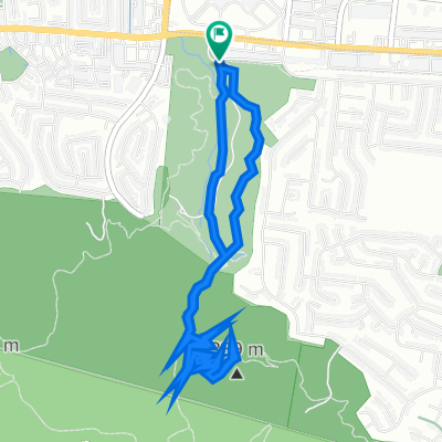
park walk
Cycling route in Rowland Heights, California, United States of America
- 2.1 km
- Distance
- 76 m
- Ascent
- 75 m
- Descent

Rowland Heights to Rowland Heights
Cycling route in Rowland Heights, California, United States of America
- 32.1 km
- Distance
- 805 m
- Ascent
- 809 m
- Descent
Discover more routes
 1675 Hanover Rd, Industry to 13578–13598 Don Julian Rd, La Puente
- Distance
- 10.6 km
- Ascent
- 19 m
- Descent
- 65 m
- Location
- Rowland Heights, California, United States of America
 18150 Pathfinder Rd, Rowland Heights to 1749 Batson Ave, Rowland Heights
- Distance
- 4.2 km
- Ascent
- 3 m
- Descent
- 65 m
- Location
- Rowland Heights, California, United States of America
 Powder Canyon Motorway, Rowland Heights to Powder Canyon Motorway, Rowland Heights
- Distance
- 6.9 km
- Ascent
- 299 m
- Descent
- 299 m
- Location
- Rowland Heights, California, United States of America
 walk park
- Distance
- 1.8 km
- Ascent
- 59 m
- Descent
- 59 m
- Location
- Rowland Heights, California, United States of America
 Powder Canyon Motorway, Rowland Heights to Powder Canyon Motorway, Rowland Heights
- Distance
- 6.5 km
- Ascent
- 267 m
- Descent
- 267 m
- Location
- Rowland Heights, California, United States of America
 17250 E Colima Rd, Rowland Heights to 17250 E Colima Rd, Rowland Heights
- Distance
- 0.5 km
- Ascent
- 10 m
- Descent
- 0 m
- Location
- Rowland Heights, California, United States of America
 2594–2622 Fullerton Rd, La Habra Heights to 2594–2622 Fullerton Rd, La Habra Heights
- Distance
- 8.1 km
- Ascent
- 251 m
- Descent
- 253 m
- Location
- Rowland Heights, California, United States of America
 1749 Batson Ave, Rowland Heights to 18150 Pathfinder Rd, Rowland Heights
- Distance
- 5.5 km
- Ascent
- 84 m
- Descent
- 22 m
- Location
- Rowland Heights, California, United States of America