
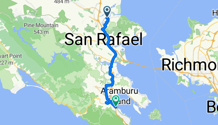


Terra Linda to Golden Gate Bridge
- 32.6 km
- 286 m
- 311 m
- Santa Venetia, California, United States

Discover a map of 155 cycling routes and bike trails near Santa Venetia, created by our community.
Region portrait
Find the right bike route for you through Santa Venetia, where we've got 155 cycle routes to explore. Most people get on their bikes to ride here in the months of July and September.
6,945 km
Tracked distance
155
Cycle routes
4,292
Population
Community
From our community
Cycling route in Santa Venetia, California, United States
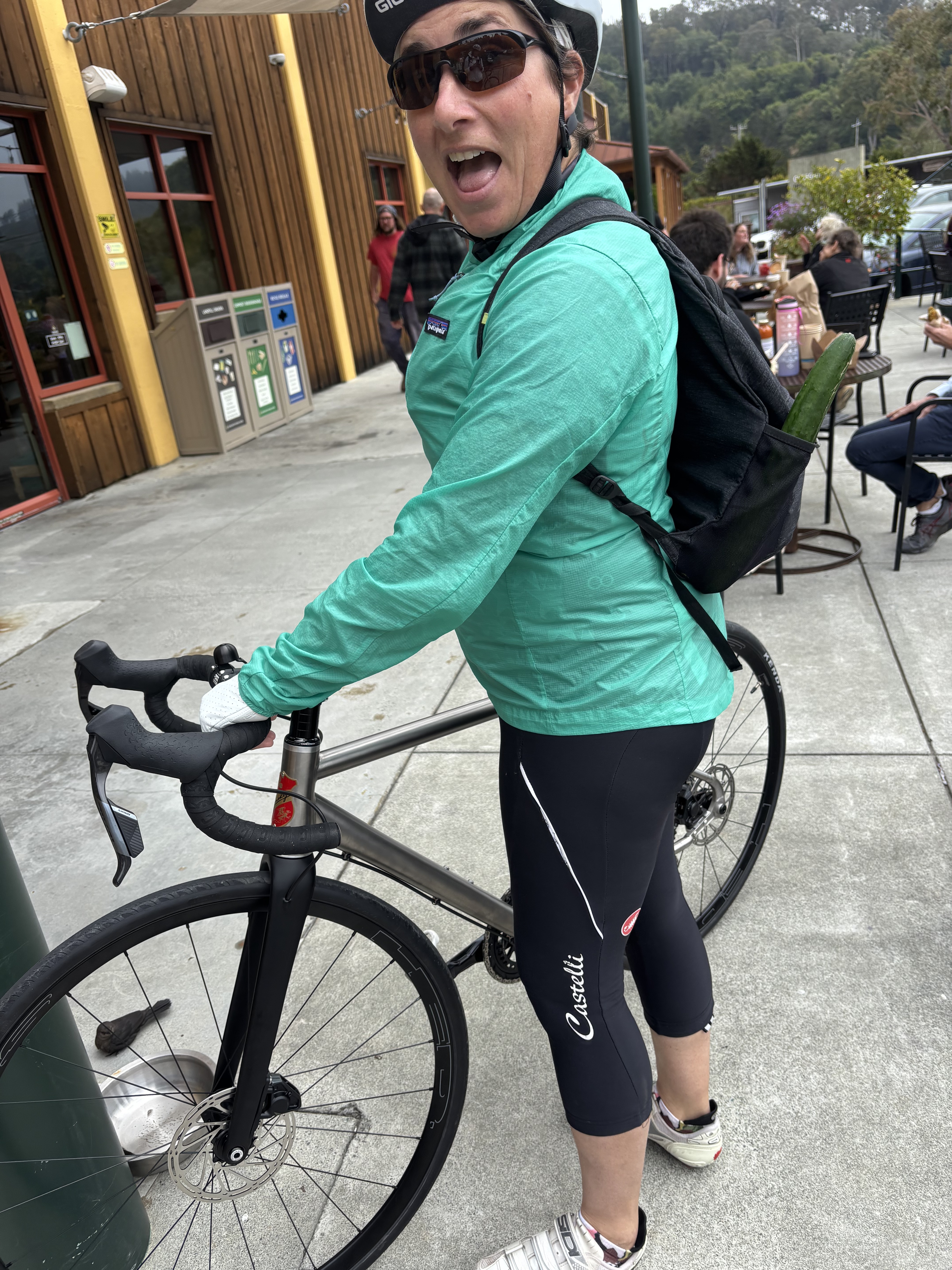
Cycling route in Santa Venetia, California, United States


Cycling route in Santa Venetia, California, United States
Cycling route in Santa Venetia, California, United States


