


2655 S Coast Hwy 101, Encinitas to 8800 Lombard Pl, San Diego
- 19.9 km
- 56 m
- 55 m
- Solana Beach, California, United States

Find the right bike route for you through Solana Beach, where we've got 93 cycle routes to explore. Most people get on their bikes to ride here in the months of June and July.
Tracked distance
Cycle routes
Population
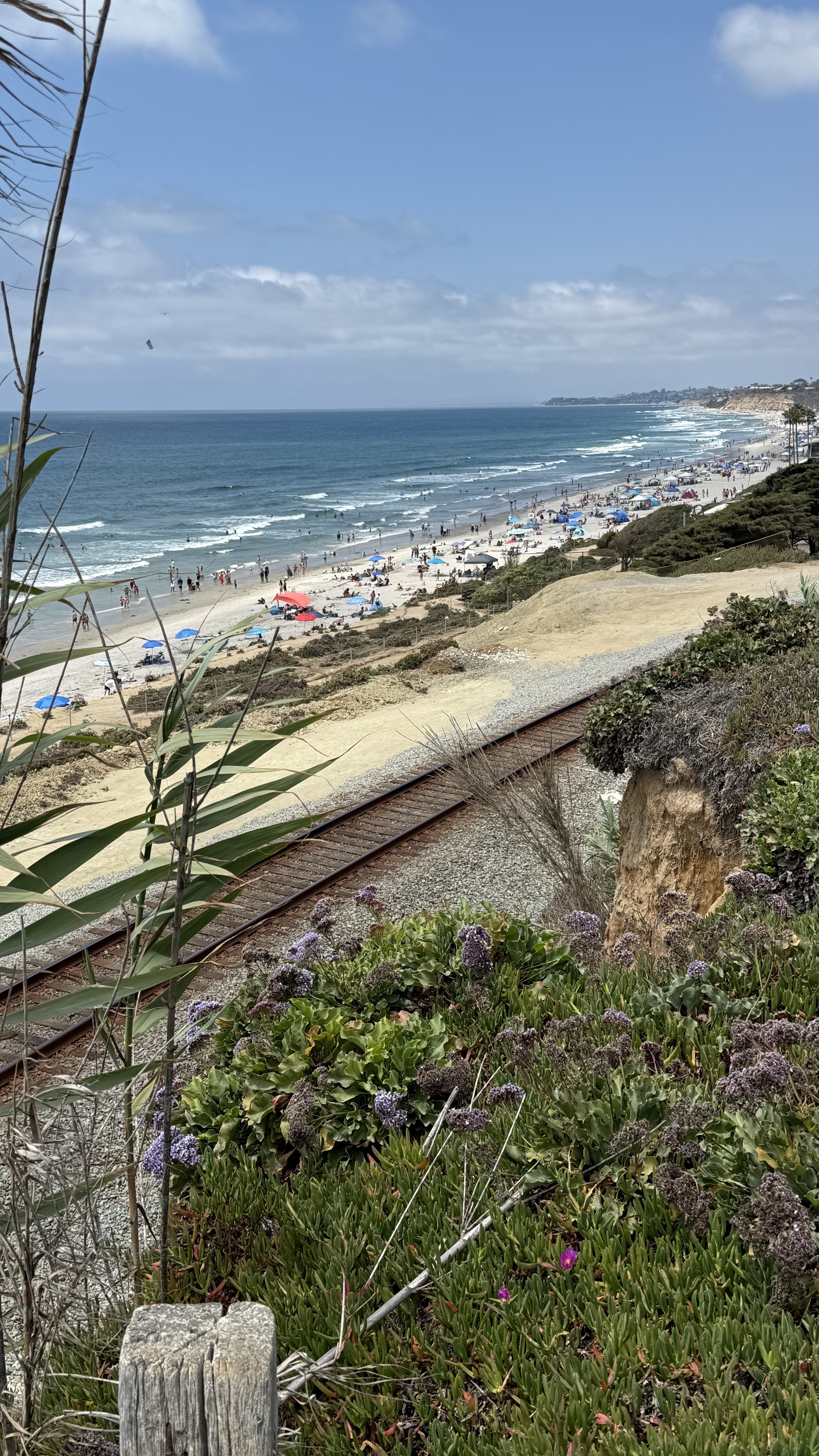

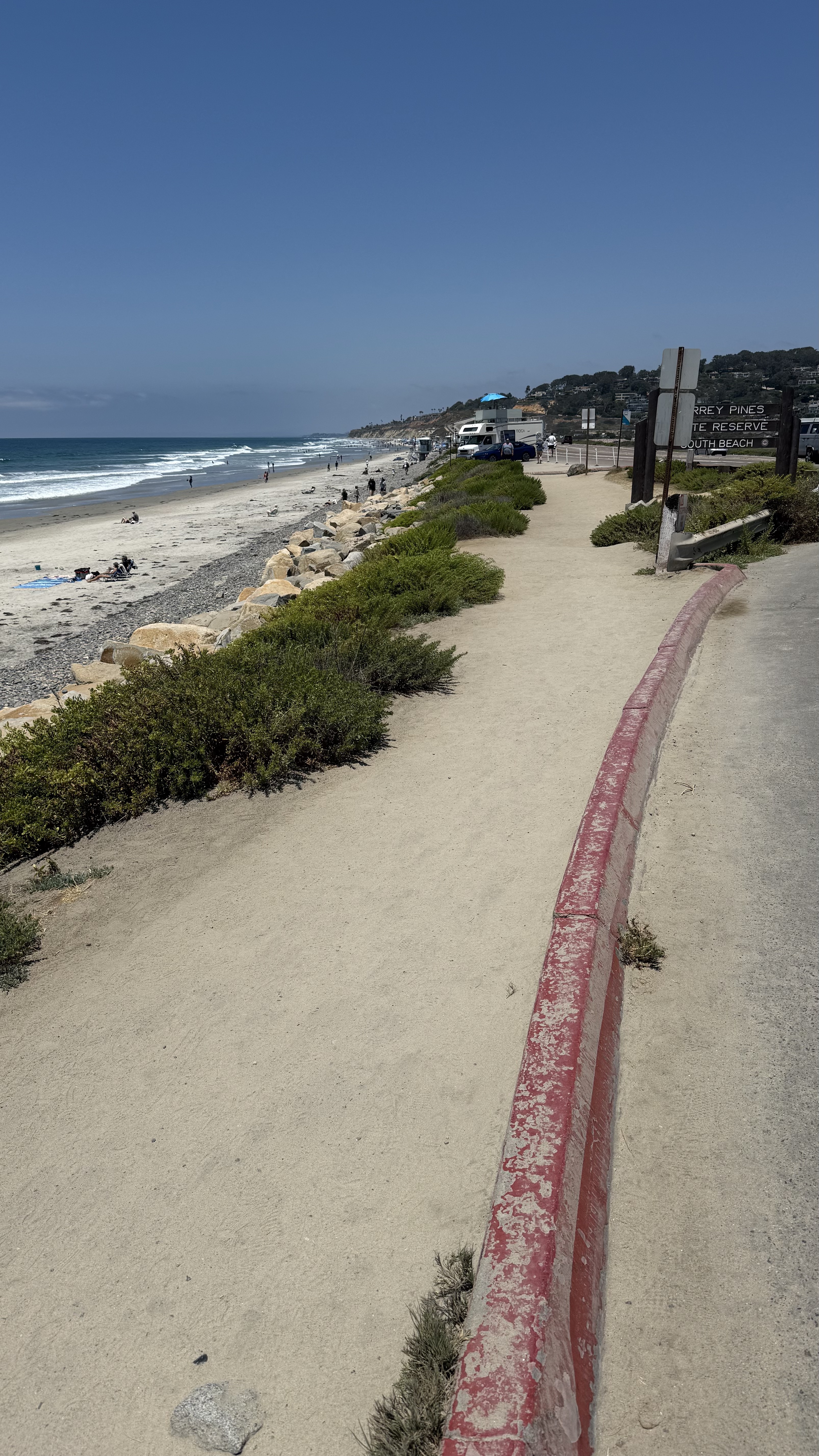
Cycling route in Solana Beach, California, United States
Cycling route in Solana Beach, California, United States
Cycling route in Solana Beach, California, United States

Cycling route in Solana Beach, California, United States


