
Cycling in South San Gabriel
Discover a map of 17 cycling routes and bike trails near South San Gabriel, created by our community.
Region portrait
Get to know South San Gabriel
Find the right bike route for you through South San Gabriel, where we've got 17 cycle routes to explore.
321 km
Tracked distance
17
Cycle routes
8,070
Population
Community
Most active users in South San Gabriel


From our community
The best bike routes in and around South San Gabriel

#GOONSQUAD GAUNTLET
Cycling route in South San Gabriel, California, United States
- 25.3 km
- Distance
- 209 m
- Ascent
- 182 m
- Descent

Triathlon bike distance with 2 stops
Cycling route in South San Gabriel, California, United States
- 70.1 km
- Distance
- 727 m
- Ascent
- 718 m
- Descent

Moderate route in San Gabriel
Cycling route in South San Gabriel, California, United States
- 12.6 km
- Distance
- 75 m
- Ascent
- 45 m
- Descent

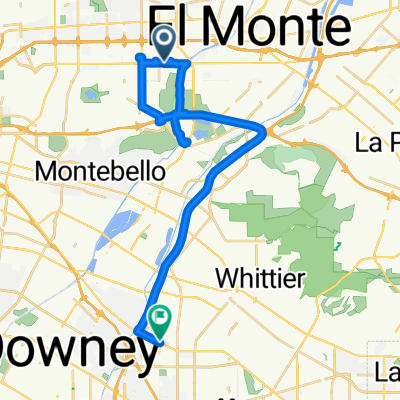
Upper Rio Hondo, Rosemead to 1701 Santa Anita Ave, South El Monte
Cycling route in South San Gabriel, California, United States
- 10.2 km
- Distance
- 89 m
- Ascent
- 82 m
- Descent
Discover more routes
 8682 Garvey Ave, Rosemead to 11782–11784 Telegraph Rd, Santa Fe Springs
- Distance
- 35 km
- Ascent
- 101 m
- Descent
- 135 m
- Location
- South San Gabriel, California, United States
 2727 Pellissier Pl City Of Industry, CA 90601 美国
- Distance
- 0.3 km
- Ascent
- 16 m
- Descent
- 0 m
- Location
- South San Gabriel, California, United States
 Route #1
- Distance
- 17.8 km
- Ascent
- 224 m
- Descent
- 95 m
- Location
- South San Gabriel, California, United States
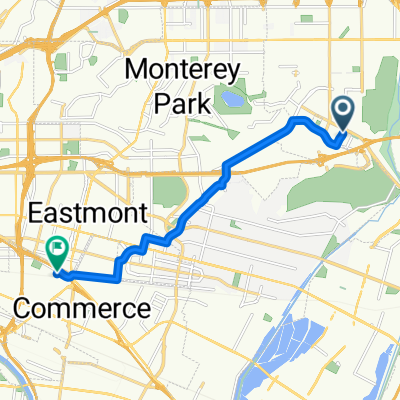 1151 San Gabriel Blvd, Rosemead to 5116 Triggs St, Commerce
- Distance
- 9.8 km
- Ascent
- 75 m
- Descent
- 126 m
- Location
- South San Gabriel, California, United States
 Recovered Route
- Distance
- 6.2 km
- Ascent
- 42 m
- Descent
- 58 m
- Location
- South San Gabriel, California, United States
 Steady ride in Alhambra
- Distance
- 9.5 km
- Ascent
- 115 m
- Descent
- 32 m
- Location
- South San Gabriel, California, United States
 pub crawl Rosemead /SGV
- Distance
- 16.4 km
- Ascent
- 63 m
- Descent
- 22 m
- Location
- South San Gabriel, California, United States
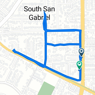 8135 Wagon Wheel Ct, Rosemead to 1445 San Gabriel Blvd, Rosemead
- Distance
- 3 km
- Ascent
- 23 m
- Descent
- 25 m
- Location
- South San Gabriel, California, United States