
Cycling in Sunnyvale
Discover a map of 543 cycling routes and bike trails near Sunnyvale, created by our community.
Region portrait
Get to know Sunnyvale
Find the right bike route for you through Sunnyvale, where we've got 543 cycle routes to explore. Most people get on their bikes to ride here in the months of June and August.
15,765 km
Tracked distance
543
Cycle routes
140,081
Population
Community
Most active users in Sunnyvale


From our community
The best bike routes in and around Sunnyvale

Montebello Rd - Black mountain
Cycling route in Sunnyvale, California, United States
- 19 km
- Distance
- 815 m
- Ascent
- 83 m
- Descent


Stevens Creek - NASA - drive
Cycling route in Sunnyvale, California, United States
- 24.8 km
- Distance
- 90 m
- Ascent
- 92 m
- Descent

To Rancho San Antonio Open Space Preserve
Cycling route in Sunnyvale, California, United States
- 9.8 km
- Distance
- 144 m
- Ascent
- 64 m
- Descent

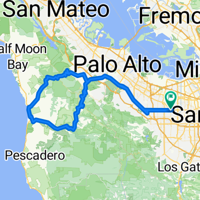
Sunnyvale/Page Mill loop
Cycling route in Sunnyvale, California, United States
- 67 km
- Distance
- 875 m
- Ascent
- 877 m
- Descent
Discover more routes
 Foothill - Alpine - Arastradero - Foothill
- Distance
- 53.6 km
- Ascent
- 470 m
- Descent
- 470 m
- Location
- Sunnyvale, California, United States
 sunnyvale - old la honda - tunitas - sunnyvale
- Distance
- 111 km
- Ascent
- 1,302 m
- Descent
- 1,302 m
- Location
- Sunnyvale, California, United States
 From San Jose to Sunnyvale
- Distance
- 22.1 km
- Ascent
- 58 m
- Descent
- 56 m
- Location
- Sunnyvale, California, United States
 Stevens Creek Canyon Road
- Distance
- 54.2 km
- Ascent
- 1,463 m
- Descent
- 1,113 m
- Location
- Sunnyvale, California, United States
 Sunnyvale Mango Stevens Canyon Mt. Eden Loop
- Distance
- 50.3 km
- Ascent
- 488 m
- Descent
- 488 m
- Location
- Sunnyvale, California, United States
 Possible Hash Bluemax short
- Distance
- 8.2 km
- Ascent
- 8 m
- Descent
- 8 m
- Location
- Sunnyvale, California, United States
 251 Olson Way, Sunnyvale to San Francisco Bay Trail, Burlingame
- Distance
- 54.2 km
- Ascent
- 25 m
- Descent
- 54 m
- Location
- Sunnyvale, California, United States
 Loop around Alviso
- Distance
- 26.7 km
- Ascent
- 40 m
- Descent
- 38 m
- Location
- Sunnyvale, California, United States