
Cycling in Truckee
Discover a map of 318 cycling routes and bike trails near Truckee, created by our community.
Region portrait
Get to know Truckee
Find the right bike route for you through Truckee, where we've got 318 cycle routes to explore. Most people get on their bikes to ride here in the months of March and July.
13,412 km
Tracked distance
318
Cycle routes
16,180
Population


From our community
The best bike routes in and around Truckee


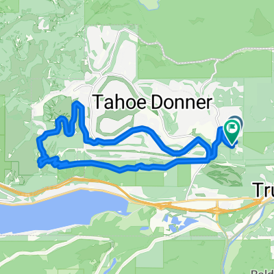
Gold Bend, Truckee to Gold Bend, Truckee
Cycling route in Truckee, California, United States
- 18.7 km
- Distance
- 397 m
- Ascent
- 398 m
- Descent

Gold Bend, Truckee to Gold Bend, Truckee
Cycling route in Truckee, California, United States
- 18.6 km
- Distance
- 397 m
- Ascent
- 398 m
- Descent


Truckee - Verdi
Cycling route in Truckee, California, United States
- 37 km
- Distance
- 657 m
- Ascent
- 721 m
- Descent
Discover more routes
 Steady ride in Truckee
- Distance
- 9.4 km
- Ascent
- 294 m
- Descent
- 291 m
- Location
- Truckee, California, United States
 Easy Trail
- Distance
- 9.7 km
- Ascent
- 190 m
- Descent
- 192 m
- Location
- Truckee, California, United States
 Mountain Bike Loop Truckee
- Distance
- 23.5 km
- Ascent
- 670 m
- Descent
- 669 m
- Location
- Truckee, California, United States
 Sawtooth/Tahoe Rim Trail
- Distance
- 56 km
- Ascent
- 1,300 m
- Descent
- 1,301 m
- Location
- Truckee, California, United States
 Big Loop
- Distance
- 31.5 km
- Ascent
- 1,011 m
- Descent
- 1,012 m
- Location
- Truckee, California, United States
 Route to 11769 Tundra Drive, Truckee, CA 96161
- Distance
- 25.3 km
- Ascent
- 640 m
- Descent
- 642 m
- Location
- Truckee, California, United States
 Skislope to Rim Trail
- Distance
- 20.3 km
- Ascent
- 547 m
- Descent
- 549 m
- Location
- Truckee, California, United States
 r218 ROAM
- Distance
- 131 km
- Ascent
- 1,421 m
- Descent
- 1,977 m
- Location
- Truckee, California, United States