
Cycling in Commerce City
Discover a map of 266 cycling routes and bike trails near Commerce City, created by our community.
Region portrait
Get to know Commerce City
Find the right bike route for you through Commerce City, where we've got 266 cycle routes to explore. Most people get on their bikes to ride here in the months of July and August.
4,306 km
Tracked distance
266
Cycle routes
45,913
Population
Community
Most active users in Commerce City

From our community
The best bike routes in and around Commerce City


That was harder than I thought. My butt hurts.
Cycling route in Commerce City, Colorado, United States
- 35.2 km
- Distance
- 123 m
- Ascent
- 124 m
- Descent

Boulder
Cycling route in Commerce City, Colorado, United States
- 53.3 km
- Distance
- 309 m
- Ascent
- 294 m
- Descent

2023 Denver Century Ride 25 Mile Route
Cycling route in Commerce City, Colorado, United States
25 Mile Route At A Glance:
Distance: 27.2 Miles
Elevation: +711 / -712
Max. Grade: 5.3%
Avg. Grade: 0.0%
Start/Finish: The Shops at Northfield – 8354 E 49th Ave #1740, Denver, CO 80238
Time: The departure window for all 25 Mile Riders will be from 7:15am-8:00am with all riders off the route by 1:00pm.
https://denvercenturyride.com/ride-info/25-mile/
- 44.2 km
- Distance
- 267 m
- Ascent
- 262 m
- Descent

Eric's bike route to UPS
Cycling route in Commerce City, Colorado, United States
Fastest bike route to work for Eric.
- 5.8 km
- Distance
- 27 m
- Ascent
- 21 m
- Descent
Discover more routes
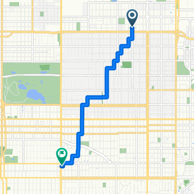
 9428 E 59th Ave, Denver to 4201 S Parker Rd, Aurora
- Distance
- 23.5 km
- Ascent
- 208 m
- Descent
- 105 m
- Location
- Commerce City, Colorado, United States
 Montbello and Green Valley - Bike Map Quest
- Distance
- 43.4 km
- Ascent
- 137 m
- Descent
- 139 m
- Location
- Commerce City, Colorado, United States
 3812 N Madison St, Denver to 9101 W 58th Ave, Arvada
- Distance
- 28.4 km
- Ascent
- 1,757 m
- Descent
- 1,734 m
- Location
- Commerce City, Colorado, United States
 3247 Kearney St, Denver to 750 Colorado Blvd, Denver
- Distance
- 5.7 km
- Ascent
- 10 m
- Descent
- 0 m
- Location
- Commerce City, Colorado, United States
 20 Mile Loop
- Distance
- 32.4 km
- Ascent
- 297 m
- Descent
- 297 m
- Location
- Commerce City, Colorado, United States
 Lap Around Park
- Distance
- 0.8 km
- Ascent
- 0 m
- Descent
- 0 m
- Location
- Commerce City, Colorado, United States
 Sand Creek Regional Greenway, Commerce City to East 95th Drive 4697, Thornton
- Distance
- 10 km
- Ascent
- 31 m
- Descent
- 45 m
- Location
- Commerce City, Colorado, United States
 Work -> Home
- Distance
- 17.1 km
- Ascent
- 98 m
- Descent
- 116 m
- Location
- Commerce City, Colorado, United States
Routes from Commerce City
Quick ride by bicycle from
Commerce City to Denver
Routes to Commerce City
Quick ride by bicycle from
Denver to Commerce City