
Cycling in Littleton
Discover a map of 94 cycling routes and bike trails near Littleton, created by our community.
Region portrait
Get to know Littleton
Find the right bike route for you through Littleton, where we've got 94 cycle routes to explore. Most people get on their bikes to ride here in the months of June and July.
2,663 km
Tracked distance
94
Cycle routes
41,737
Population
Community
Most active users in Littleton


From our community
The best bike routes in and around Littleton

LC - Chatfield Loop
Cycling route in Littleton, Colorado, United States
- 45.4 km
- Distance
- 173 m
- Ascent
- 173 m
- Descent

July GBA + Pedal Group Ride (Pleasantville Fun)
Cycling route in Littleton, Colorado, United States
- 56.8 km
- Distance
- 190 m
- Ascent
- 190 m
- Descent

Tesla to Home #1
Cycling route in Littleton, Colorado, United States
- 19.1 km
- Distance
- 45 m
- Ascent
- 49 m
- Descent

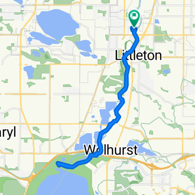
Mary Carter Greenway Trail, Littleton to 8540 S Colorado Blvd, Highlands Ranch
Cycling route in Littleton, Colorado, United States
- 21.9 km
- Distance
- 189 m
- Ascent
- 47 m
- Descent
Discover more routes
 2469 W Main St, Littleton to 4737 S Xenophon Way, Morrison
- Distance
- 18.8 km
- Ascent
- 1,867 m
- Descent
- 1,759 m
- Location
- Littleton, Colorado, United States
 Landmark
- Distance
- 17.1 km
- Ascent
- 199 m
- Descent
- 85 m
- Location
- Littleton, Colorado, United States
 South Broadway 5898, Littleton to South Broadway 2634, Denver
- Distance
- 23.5 km
- Ascent
- 30 m
- Descent
- 77 m
- Location
- Littleton, Colorado, United States
 To The Lake And Back
- Distance
- 23.3 km
- Ascent
- 85 m
- Descent
- 85 m
- Location
- Littleton, Colorado, United States
 5800 S Prince St, Littleton to 4501 Homestead St, Bow Mar
- Distance
- 5 km
- Ascent
- 47 m
- Descent
- 9 m
- Location
- Littleton, Colorado, United States
 South Broadway 5898, Littleton to South Broadway 3080, Englewood
- Distance
- 5.8 km
- Ascent
- 7 m
- Descent
- 46 m
- Location
- Littleton, Colorado, United States
 North Ride
- Distance
- 24.4 km
- Ascent
- 51 m
- Descent
- 50 m
- Location
- Littleton, Colorado, United States
 3084 W Chenango Ave, Englewood to 76005022 Landmark Way, Greenwood Village
- Distance
- 17.2 km
- Ascent
- 147 m
- Descent
- 47 m
- Location
- Littleton, Colorado, United States