
Cycling in Dodge City
Discover a map of 13 cycling routes and bike trails near Dodge City, created by our community.
Region portrait
Get to know Dodge City
Find the right bike route for you through Dodge City, where we've got 13 cycle routes to explore. Most people get on their bikes to ride here in the month of July.
650 km
Tracked distance
13
Cycle routes
27,340
Population
Community
Most active users in Dodge City


From our community
The best bike routes in and around Dodge City

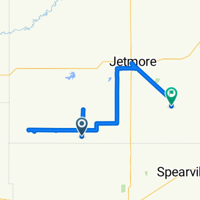
16. Tag C2C Dodge City - Hutchinson, KS
Cycling route in Dodge City, Kansas, United States
- 204 km
- Distance
- 20 m
- Ascent
- 316 m
- Descent
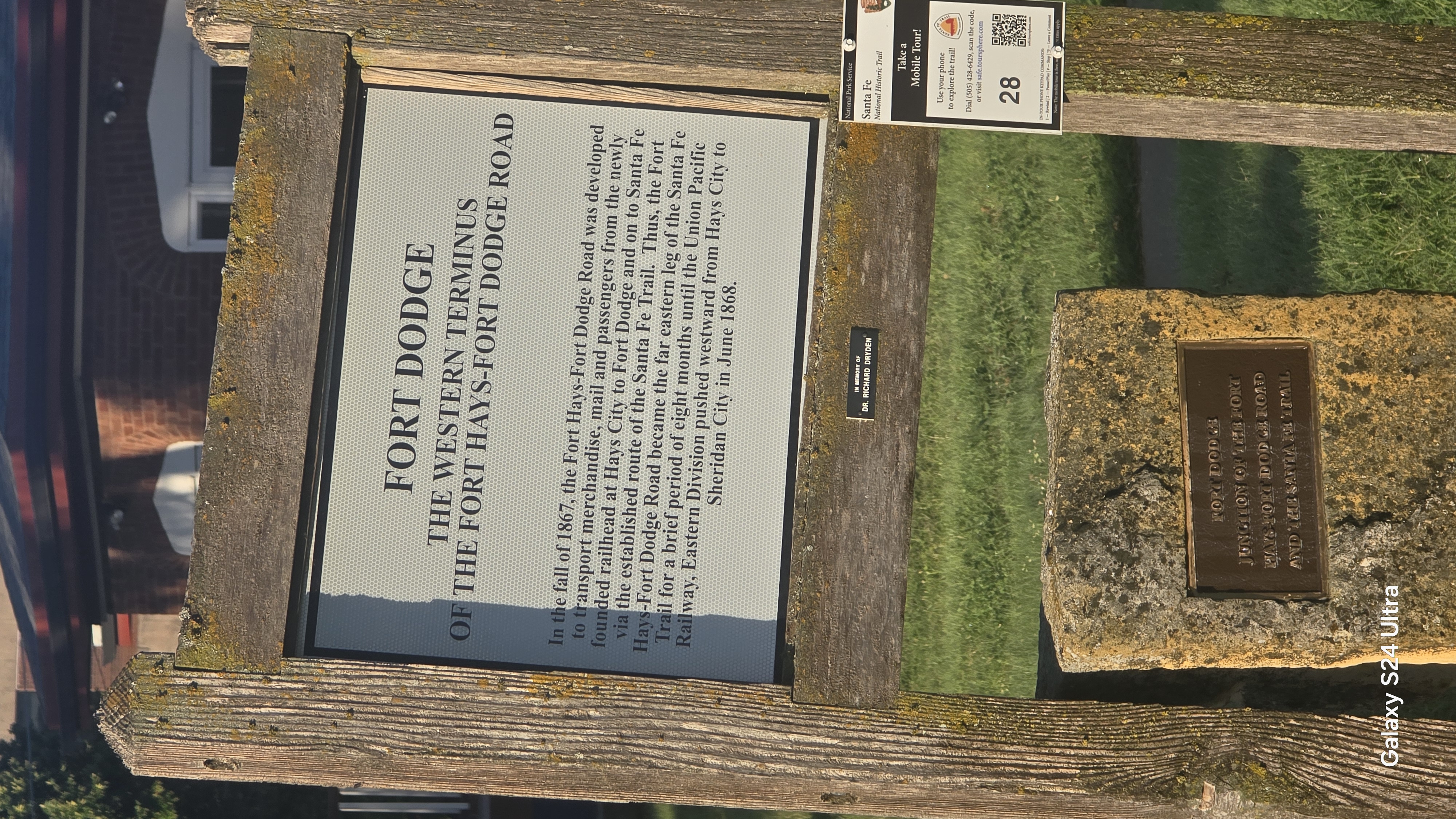
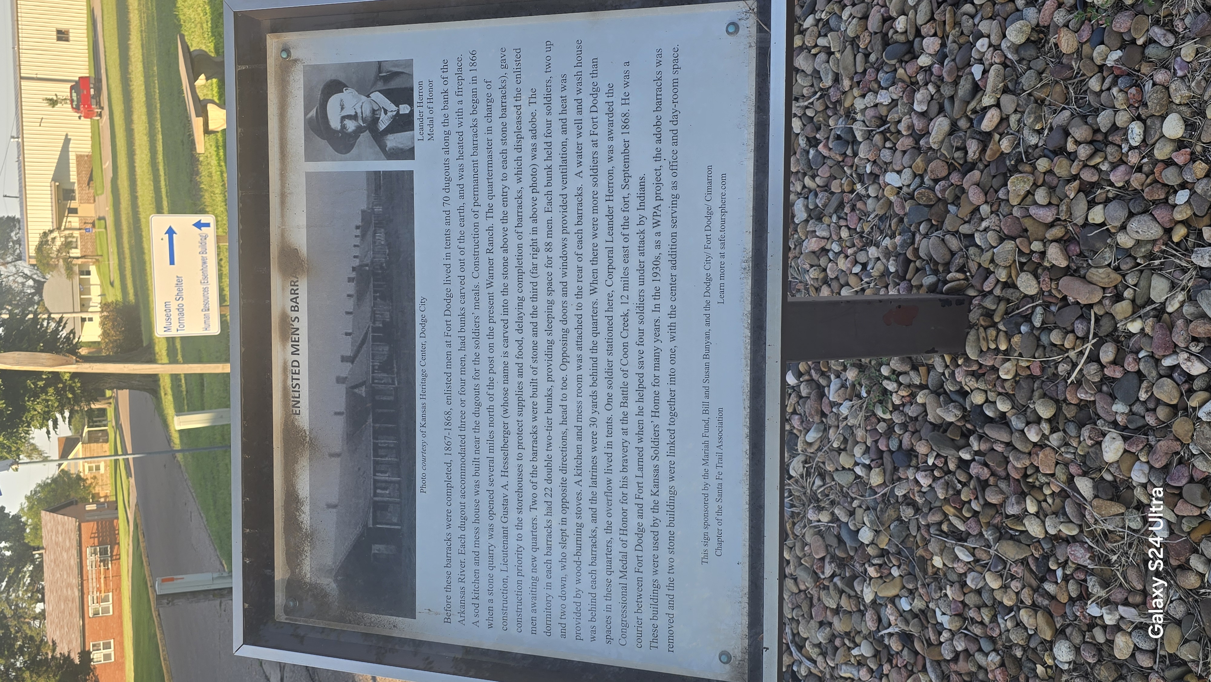
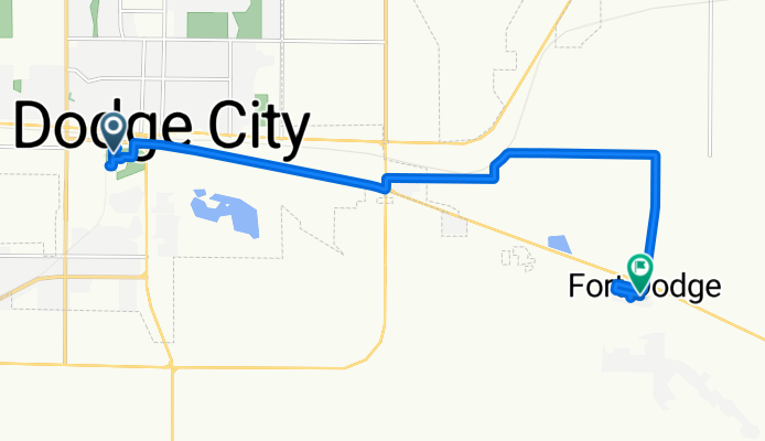
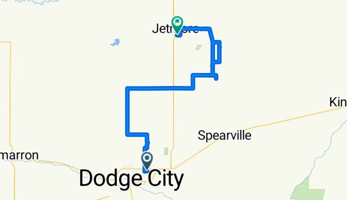
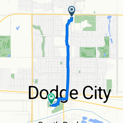
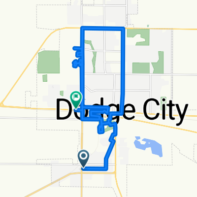
Dodge City KOA to Fort Dodge
Cycling route in Dodge City, Kansas, United States
- 13 km
- Distance
- 72 m
- Ascent
- 44 m
- Descent
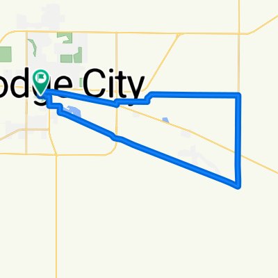
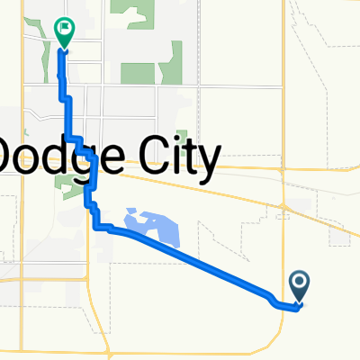
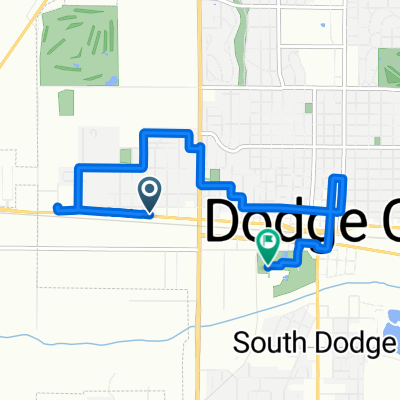
Airport Road to East South Street
Cycling route in Dodge City, Kansas, United States
- 97.3 km
- Distance
- 423 m
- Ascent
- 508 m
- Descent

Discover more routes
 Park Street to Park Street
- Distance
- 29.8 km
- Ascent
- 85 m
- Descent
- 52 m
- Location
- Dodge City, Kansas, United States
 Park Street to Park Street
- Distance
- 22.1 km
- Ascent
- 118 m
- Descent
- 90 m
- Location
- Dodge City, Kansas, United States
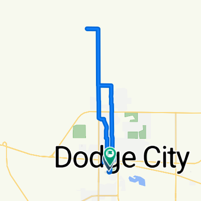
 Lariat Place to 6th Avenue
- Distance
- 8.6 km
- Ascent
- 54 m
- Descent
- 7 m
- Location
- Dodge City, Kansas, United States
 Route to Road
- Distance
- 84 km
- Ascent
- 226 m
- Descent
- 293 m
- Location
- Dodge City, Kansas, United States
 Central Avenue to Park Street
- Distance
- 4.7 km
- Ascent
- 44 m
- Descent
- 39 m
- Location
- Dodge City, Kansas, United States
 Kettle Way to Park Street
- Distance
- 5.5 km
- Ascent
- 44 m
- Descent
- 3 m
- Location
- Dodge City, Kansas, United States
 West Wyatt Earp Boulevard to Park Street
- Distance
- 7.7 km
- Ascent
- 92 m
- Descent
- 60 m
- Location
- Dodge City, Kansas, United States
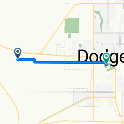
 Harris Avenue to West Wyatt Earp Boulevard
- Distance
- 28.5 km
- Ascent
- 262 m
- Descent
- 227 m
- Location
- Dodge City, Kansas, United States