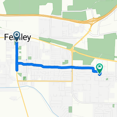
Route to 55 W Williams Ave, Fallon
- 43.8 km
- 111 m
- 170 m
- Fernley, Nevada, United States

Discover a map of 8 cycling routes and bike trails near Fernley, created by our community.
Region portrait
Find the right bike route for you through Fernley, where we've got 8 cycle routes to explore.
167 km
Tracked distance
8
Cycle routes
19,368
Population
Community
From our community
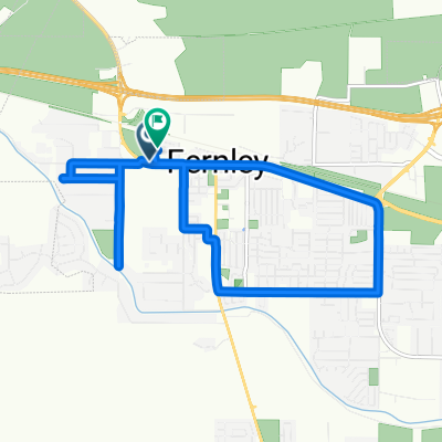
Cycling route in Fernley, Nevada, United States

Cycling route in Fernley, Nevada, United States
Cycling route in Fernley, Nevada, United States