
Cycling in Washington
Discover a map of 63 cycling routes and bike trails near Washington, created by our community.
Region portrait
Get to know Washington
Find the right bike route for you through Washington, where we've got 63 cycle routes to explore. Most people get on their bikes to ride here in the month of April.
3,790 km
Tracked distance
63
Cycle routes
18,761
Population
Community
Most active users in Washington


From our community
The best bike routes in and around Washington

Lee Lane 82, St. George to Lee Lane 82, St. George
Cycling route in Washington, Utah, United States
- 4.8 km
- Distance
- 2 m
- Ascent
- 3 m
- Descent
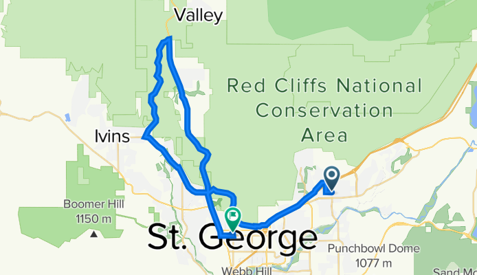
South 2670 East 288, St. George to South Mall Drive 565, St. George
Cycling route in Washington, Utah, United States
- 34.2 km
- Distance
- 249 m
- Ascent
- 245 m
- Descent
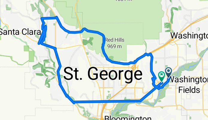
288 E 200 N St, Washington to 18 S Main St, St. George
Cycling route in Washington, Utah, United States
- 43.7 km
- Distance
- 593 m
- Ascent
- 637 m
- Descent
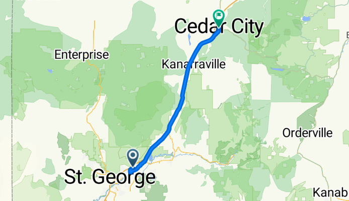
De Grapevine Crossing Rd, Washington a 19 N Main St, Cedar City
Cycling route in Washington, Utah, United States
- 77.7 km
- Distance
- 1,061 m
- Ascent
- 180 m
- Descent
Discover more routes
 Sortie sud
- Distance
- 72.8 km
- Ascent
- 781 m
- Descent
- 782 m
- Location
- Washington, Utah, United States
 W Washington Pkwy, Washington to I-15 S, Washington
- Distance
- 6.8 km
- Ascent
- 154 m
- Descent
- 191 m
- Location
- Washington, Utah, United States
 288 E 200 N St, Washington to 288 E 200 N St, Washington
- Distance
- 30.8 km
- Ascent
- 253 m
- Descent
- 253 m
- Location
- Washington, Utah, United States
 288 E 200 N St, Washington to 437 S Bluff St, St. George
- Distance
- 10.5 km
- Ascent
- 63 m
- Descent
- 113 m
- Location
- Washington, Utah, United States
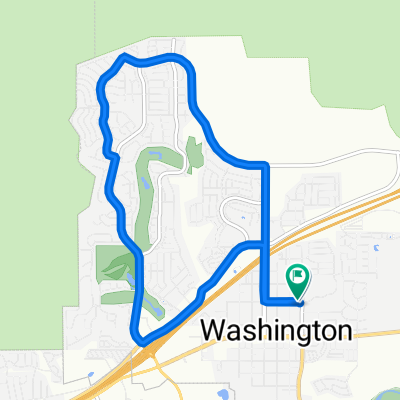
 288 E 200 N St, Washington to 268 E 200 N St, Washington
- Distance
- 11.2 km
- Ascent
- 132 m
- Descent
- 133 m
- Location
- Washington, Utah, United States
 North 6300 West 41, Hurricane to Davis Circle, St. George
- Distance
- 10.9 km
- Ascent
- 13 m
- Descent
- 171 m
- Location
- Washington, Utah, United States
 Recovered Route
- Distance
- 11.2 km
- Ascent
- 125 m
- Descent
- 127 m
- Location
- Washington, Utah, United States
 Virgin River Trail, Washington to 1027 S Dixie Dr, Saint George
- Distance
- 18.5 km
- Ascent
- 60 m
- Descent
- 73 m
- Location
- Washington, Utah, United States