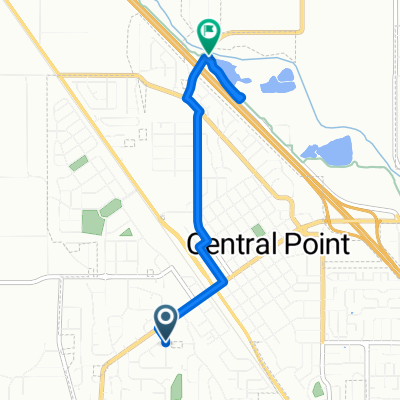
Cycling in Central Point
Discover a map of 13 cycling routes and bike trails near Central Point, created by our community.
Region portrait
Get to know Central Point
Find the right bike route for you through Central Point, where we've got 13 cycle routes to explore.
1,122 km
Tracked distance
13
Cycle routes
17,169
Population
Community
Most active users in Central Point
From our community
The best bike routes in and around Central Point
mongram
Cycling route in Central Point, Oregon, United States of America
monogram
Â
- 52.4 km
- Distance
- 1,403 m
- Ascent
- 653 m
- Descent
MFR (medford) to SAC
Cycling route in Central Point, Oregon, United States of America
Medford to SAC 550 miles 6 days
- 918.5 km
- Distance
- 3,269 m
- Ascent
- 3,640 m
- Descent
Elk Street 81, Medford to Peachwood Court 1168, Medford
Cycling route in Central Point, Oregon, United States of America
- 7.3 km
- Distance
- 45 m
- Ascent
- 0 m
- Descent
Westover Boulevard 3249, Central Point to West Antelope Road 441, White City
Cycling route in Central Point, Oregon, United States of America
- 15 km
- Distance
- 21 m
- Ascent
- 95 m
- Descent
Discover more routes
- 288 Lavender Ln, Central Point to 288 Lavender Ln, Central Point
- Distance
- 20.7 km
- Ascent
- 47 m
- Descent
- 48 m
- Location
- Central Point, Oregon, United States of America
- 288 Lavender Ln, Central Point to 288 Lavender Ln, Central Point
- Distance
- 10.5 km
- Ascent
- 25 m
- Descent
- 25 m
- Location
- Central Point, Oregon, United States of America
- Pumphouse Beer Ride
- Distance
- 21.6 km
- Ascent
- 111 m
- Descent
- 0 m
- Location
- Central Point, Oregon, United States of America
- 3567–3711 Crater Lake Ave, Medford to 201 Corcoran Ln, Central Point
- Distance
- 9.6 km
- Ascent
- 17 m
- Descent
- 35 m
- Location
- Central Point, Oregon, United States of America
- Bear Creek Greenway, Central Point to Bear Creek Greenway, Central Point
- Distance
- 22.4 km
- Ascent
- 79 m
- Descent
- 83 m
- Location
- Central Point, Oregon, United States of America
- 201 Corcoran Ln, Central Point to 3128–3182 Juanipero Way, Medford
- Distance
- 13.3 km
- Ascent
- 70 m
- Descent
- 8 m
- Location
- Central Point, Oregon, United States of America
- 288 Lavender Ln, Central Point to 288 Lavender Ln, Central Point
- Distance
- 18.8 km
- Ascent
- 51 m
- Descent
- 52 m
- Location
- Central Point, Oregon, United States of America
- Recovered Route
- Distance
- 8.4 km
- Ascent
- 16 m
- Descent
- 41 m
- Location
- Central Point, Oregon, United States of America